Login
Star users
Poll
Home
>
Australia
>
Queensland
>
Southern Downs Regional
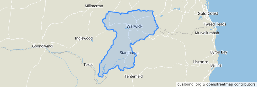
Southern Downs Regional
See in interactive map
Routes of public transport
Bus 972: Town Centre => East Warwick
Bus 973: Town Centre => Glennie Heights
Stops
Canning Street at Grafton Street
McEvoy St near Pratten St hail 'n' ride
Albert St at Warwick Croquet Club hail 'n' ride
Lyons St at Haidleys Depot hail 'n' ride
Yarrawonga Street at Evans Crescent
Cecil St near Hamilton St hail 'n' ride
Horsman Road at Weewondilla Road
Palmerin Street at Post Office
Bourke Street at Grafton Street
Park Road at Queens Park
Gertrude Street at Horsman Road
Horsman Road at Glengallan Road
Palmerin St near Albert St hail 'n' ride
Ogilvie Road at Glengallan
Pine St near Percy St hail 'n' ride
Glengallan Road at Ogilvie Road
Canning Street at Percy Street
Elizabeth Street at Glennie Heights Prep
Pine Street at McEvoy Street
Glennie Street at Horsman Road
Pratten Street at Canning Street
Dragon Street at Albert Street
Lyons St near Pratten St hail 'n' ride
Weewondilla Road at Hawker Road
Canning Street at Wood Street
Golf Links Avenue at Fairway Drive
Horsman Road at Steel Street
Pratten Street at George Street
Rosehill Road at Victoria Street
Points of interest
Southern Downs Regional