Login
Star users
Poll
Home
>
Australia
>
New South Wales
>
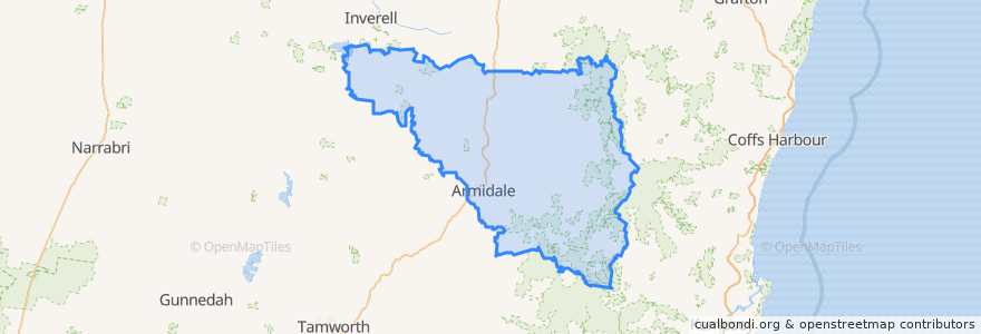
Armidale Regional Council
Armidale Regional Council
See in interactive map
Routes of public transport
Bus 480
Bus 481
Bus 483
Bus 484
North West Xplorer 223
North West Xplorer 244
Stops
Bunnings
Netball
Opp. Girraween Shops
Armidale Airport
UNE Campus
NERAM
Armidale Hospital
Armidale
Opp. Armidale Hospital
Girraween Shops
Erskine Street near MacDonald Drive
Miller Street
Glen Innes Road Motels
Autumn Lodge
Armidale Court House
Points of interest
Armidale Regional Council