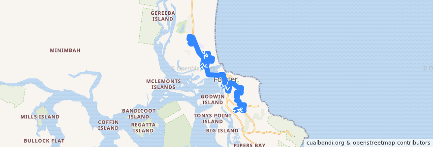
Route Bus 304: Tuncurry => Stockland Forster
Points of interest near the route
Stops:
- Tuncurry Beach Caravan Park
- John Wright Park
- 152.52336540000002, -32.1872245
- 152.5260136, -32.198713000000005
- 152.52241890000002, -32.1952755
- 152.4984091, -32.167052600000005
- North Street / Beach Street
- Flora Parade
- 152.4887287, -32.1568781
- 152.50053450000001, -32.1783212
- 152.50367310000001, -32.171493500000004
- Bent Street / Lake Street
- Tuncurry Street
- 152.49719240000002, -32.1722261
- Asplenii Crescent
- Tuncurry Bowling Club
- Manning Street / Chapmans Road
- 152.4967949, -32.1683663
- Kularoo Gardens Village
- Cape Hawke Hospital
- 152.5209356, -32.1946831
- 152.52144990000002, -32.190057
- 152.5001482, -32.1723012
- 152.523844, -32.189901500000005
- Sunset Avenue
- 152.50116490000002, -32.1670123
- 152.4980174, -32.1684633
- 152.51797050000002, -32.184699300000005
- Bruce Street / Breckenridge Street
- Forster (National Australia Bank)
- Chapmans Road
- 152.5116642, -32.1800554
- 152.5208389, -32.192522100000005
- 152.52235530000002, -32.200289600000005
- 152.51446130000002, -32.188574700000004
- Forster Heights Park
- 152.50360840000002, -32.1695666
- 152.4922895, -32.161678900000005
- RSL Club (Strand Street)
- 152.489135, -32.159302600000004
- Four Winds
- 152.4891181, -32.1613058
- 152.4874499, -32.1579421
- 152.49255100000002, -32.1622691
- 152.50200660000002, -32.169329000000005
- Pacific Parade (RSL Sports)
- Bruce Street / Little Street
- 152.4910357, -32.1614403
- 152.4967469, -32.174522
- Tuncurry Cemetery
- 152.5118883, -32.1865515
- 152.49628950000002, -32.1680226
- 152.52046570000002, -32.200203
- Great Lakes College - Tuncurry Campus
- 152.51439050000002, -32.1872077
- Wallis Street / Wharf Street
- South Street / Sunset Avenue
- 152.4938471, -32.165333600000004
- Heath Avenue
- Forster Bowling Club