Login
Star users
Poll
Home
>
ශ්රී ලංකාව இலங்கை
>
Western Province
>
Colombo District
>
Colombo
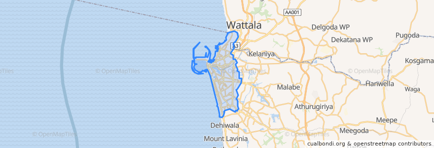
Colombo
See in interactive map
Routes of public transport
103 Fort Borella
103 Fort Narahenpita
138, Kadawatha Colombo Fort
168 Nugegoda Kotahena
176 Karagampitiya Hettiyawatte
Bus 101
Coastal Line
Godagama
Kelani Valley Line
Kelani Valley Line
Wellawatte → Narahenpita
Stops
Narahenpita
Pamankada Halt
79.87685570000001, 6.8861631
79.8662319, 6.8767474
Narahenpita
Colombo Fort
Baseline Road
Maradana
Kirulapona
Manning Place halt
Sigma
79.87688270000001, 6.8877192
Kirulapona Market
Points of interest
Suksamran Thai
Café Fort
St. Micheals College
Hilton Ballroom
HarposColombo Fort Cafe
Peoples Bank
Union Bank
Commercial Bank of Ceylon
People's Bank
Gangaramaya Temple
Chinese Dragon Cafe
Commercial Bank of Ceylon
NDB bank
Ruhunu Foods
Peoples bank
Ruhunu Foods
Chalmer's Granary Parking
Honorary Consulate of the Czech Republic
Tholappu Garden Mosque
Wekanfa Jumma Mosque
Commercial Bank of Ceylon
State Bank of India
HSBC
Bao House
Habib Bank
Commercial Bank of Ceylon
The Steuart
Graze Kitchen
Standard Chartered
Chambers