Login
Star users
Poll
Home
>
New Zealand / Aotearoa
>
Canterbury
>
Christchurch City
>
Papanui-Innes Community
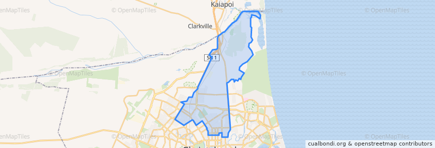
Papanui-Innes Community
See in interactive map
Routes of public transport
100 The Palms/Wilgrim
100 Wigram/The Palms
107 Northlands to Styx Mill
107 Styx Mill to Northlands
125 Redwood to Westlake
125 Westlake to Redwood
135 New Brighton/The Palms
135 The Palms/ New Brighton
1 Cashmere to Rangiora
1 Rangiora to Cashmere
28 Casebrook to Lyttelton
28 Lyttelton to Casebrook
44 Shirley to Westmorland
44 Westmorland to Shirley
60 Hillmorton to Southshore
60 Southshore to Hillmorton
7 Halswell to Queenspark
7 Queenspark to Halswell
95 Waikuku & Pegasus
95 Waikuku & Pegasus
Orbiter Clockwise
Stops
Supa Centa Terminus
Shirley Rd near Slater St
Innes Road near Severn Street
Shirley Rd near Stapletons Rd
Main North Rd near Meadow St
Hills Rd near Ailsa St
Innes Rd near Mahars Rd
Cranford St near Main North Rd
Harewood Rd near Wilmot St
Hills Rd near Westminster St
Main North near Loftus St
Innes Rd near Nancy Ave
Northlands Platform B
Grimseys Rd near Lowry Ave
Cranford St near Fraser St
Shirley Rd near Quinns Rd
Northlands Platform C
Innes Rd near Mahars Rd
Harewood Rd near Marble Wood Dr
Cranford St near Knowles St
Hills Rd near Acheson Ave
Redwood
Innes Rd near Hills Rd
Harewood Rd near St James Ave
Cranford St near Mcfaddens Rd
Points of interest
Papanui-Innes Community