Login
Star users
Poll
Home
>
United States
>
Georgia
>
College Park
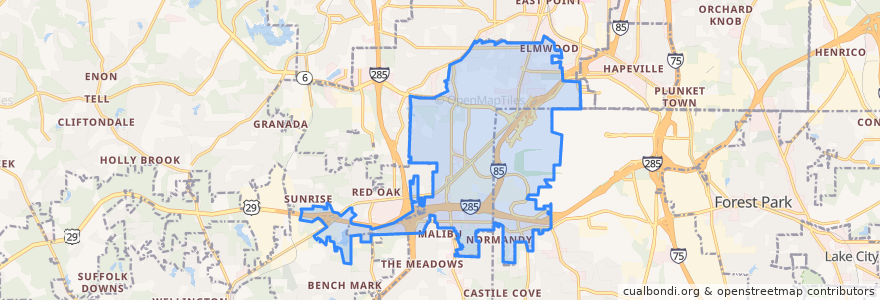
College Park
See in interactive map
Routes of public transport
ATL SkyTrain: Aeroport → Rental Car Center
ATL SkyTrain: Rental Car Center → Aeroport
MARTA 172 Sylvan Road/Virginia Avenue
Subway Gold Line: Airport Station => Doraville
Subway Gold Line: Doraville => Airport Station
Subway Red Line: Airport Station => North Springs
Subway Red Line: North Springs => Airport Station
The Plane Train: Concourse F → Domestic Baggage Claim
The Plane Train: Domestic Baggage Claim → Concourse F
Stops
Domestic Terminal
-84.4462881, 33.6407165
Airport Station
-84.44885740000001, 33.6516612
Rental Car Center
Airport Station
B Gates
A Gates
-84.44872810000001, 33.651662800000004
-84.4461445, 33.6407176
GICC/Gateway Center
T Gates
GICC/Gateway Center
Rental Car Center
Points of interest
TGI Friday's
College Park Branch Atlanta Post Office
Piano Bar
TAP
College Park
Chick-fil-A
Delta Skyclub Lounge
Atlanta Bread & Bar
McClarin Alternative School
Coca-Cola vending
Atlanta Hawks Highlight Factory
Atlanta Chophouse
College Park Branch Atlanta-Fulton Library
Cafe Tazza
College Park Station 1 Fire Station
Atlanta Station 32 Fire Station
First United Methodist Church of College Park
Wendy's
Caribou Coffee
Krystal
Fly Burger
Travelex
Lottafruit
McDonald's
Pinkberry
Boardwalk Burgers
College Park High School
Low Country
Popeyes
Cafe Brioche