Cualbondi
  • Login
  • Star users
  • Poll
  • Home>
  • United States>
  • Florida>
  • Monroe County

Monroe County

See in interactive map
Mapa de ubicacion de Monroe County.

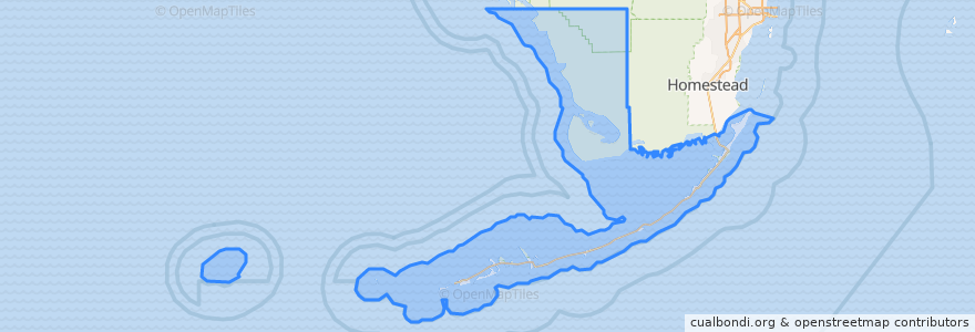
Routes of public transport

  • Blue Route

      Places

      • Key West(1)
      • Islamorada(0)
      • Key Colony Beach(0)
      • Layton(0)
      • Marathon(0)

      Stops

      • -81.76722550000001, 24.563114000000002
      • -81.7469485, 24.579028
      • Caroline & Grinnell
      • -81.74285400000001, 24.581241900000002
      • -81.7352616, 24.5751938
      • North Roosevelt Key Plaza
      • -81.7469944, 24.579074300000002
      • -81.7437804, 24.581623200000003
      • -81.7501993, 24.560583
      • -81.77108220000001, 24.5668502
      • -81.74374230000001, 24.581570000000003
      • Oceanwalk / Las Salinas
      • Senior Citizen
      • -81.7561065, 24.5528324
      • -81.7712442, 24.564625600000003
      • Hospital
      • -81.79924410000001, 24.561335500000002
      • -81.7351672, 24.5752008
      • Overseas Market
      • Key West International Airport

      Points of interest

      • Onlywood Pizzeria
      • Goldman's
      • In Kahoots Restaurant & Bar
      • Big John's Pizzeria
      • Key West Bight Ferry Terminal
      • Kilwins
      • Wine
      • Panini Schamini
      • Five Guys
      • Capt Tony's Saloon
      • Auntie Annie's
      • Joe's Broaster
      • Capt. Tony's Saloon
      • Virgilio's
      • Turquoise Restaurant
      • Quiznos
      • Lucy’s Retired Surfer Bar and Restaurant
      • Tuti Fruti
      • Island Thyme Subs
      • Starbucks
      • Cuban Coffee Queen
      • Bone Island Brewing Company
      • Islamorada
      • Mangoes
      • Amigo's Tortilla Bar
      • Dj's clam shack
      • Pepe’s
      • Mr. Z's Pizza
      • El Meson De Pepe
      • Key West

      © CualBondi 2009 - 2024

      العربية
      Deutsch
      English
      Español
      فارسی
      Français
      Italiano
      日本語
      한국어
      Bahasa Melayu
      Português
      Русский
      Turkish
      中文