Login
Star users
Poll
Home
>
United States
>
Iowa
>
Woodbury County
>
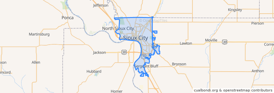
Sioux City
Sioux City
See in interactive map
Routes of public transport
Airport
Commons
Council Oaks
Indian Hills
Leeds
Marketplace
Pierce/Jackson
Riverside
Southern Hills
Points of interest
Sunrise Retirement Community
Siouxland Christian School
Rustin Avenue Methodist Church
Orange Julius
Hy-Vee Pharmacy
Heritage Baptist Church
Court Street Tavern
Mount Zion Baptist Church
Hy-Vee Gas
Midwest Credit Union
Blessed Sacrament School
Countryside Health Care Center
Taco John's
Elilly Restaurant and Coffee House
United Orthodox Synagogue
The Can Farm
Olive Garden
Horizons
Sioux City City Hall
Indian Hills Medical Clinic
Taco John's
Mount Olive Baptist Church
Sunnyside School
Blessed Sacrament Church
Our Saviour's Lutheran Church
First Church of the Nazarene
Sioux City Fire Department Station 8
Sacred Heart Church
Everett School (Closed)
Wheelock & Bursick General Dentistry