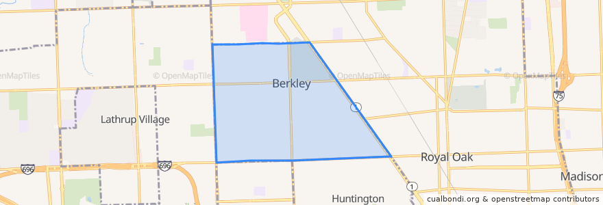
Routes of public transport
Stops
- -83.18366680000001, 42.496181400000005
- 12 Mile / Wakefield (WB)
- Woodward / Larkmoor (SB)
- -83.1833809, 42.489053500000004
- -83.17229160000001, 42.5033115
- Woodward / Catalpa (SB)
- Woodward / Webster (SB)
- Greenfield / Beverly (NB)
- 12 Mile / Wakefield (EB)
- Woodward / Edgewood (SB)
- -83.1617878, 42.492389800000005
- 12 Mile / Cumberland (EB)
- Coolidge / Oxford (SB)
- -83.16557010000001, 42.4963184
- Greenfield / 12 Mile (NB)
- 12 Mile / Coolidge Hwy (WB)
- -83.1965232, 42.502957
- -83.20012270000001, 42.5029211
- -83.17940540000001, 42.5106194
- -83.18362470000001, 42.495102200000005
- Greenfield / Wiltshire (NB)
- Woodward / Benjamin (SB)
- -83.20035890000001, 42.5029191
- -83.1844104, 42.503230900000005
- 11 Mile / Mortenson (WB)
- -83.1693762, 42.5002818
- -83.1751739, 42.5062719
- Coolidge / Beverly (NB)
- 12 Mile / Phillips NS (WB)
- -83.1837575, 42.4988116
Points of interest