Login
Star users
Poll
Home
>
United States
>
Utah
>
Salt Lake County
>
Murray
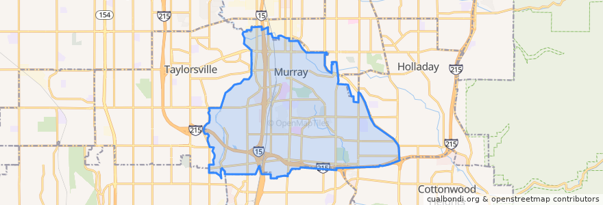
Murray
See in interactive map
Routes of public transport
Blue Line to Draper Town Center
Blue Line to Salt Lake Central
Red Line to University Medical Center
UTA Route 205 500 East (to Murray North Station)
UTA Route 205 500 East (to Salt Lake Central Station)
UTA Route 209 900 East (to Fashion Place West Station)
UTA Route 209 900 East (to Fashion Place West Station from Salt Lake Central Station, Sunday)
UTA Route 209 900 East (to North Temple Station)
UTA Route 209 900 East (to Salt Lake Central Station, Sunday)
UTA Route 307 Cottonwood Heights Fast Bus (to Cottonwood Heights Park and Ride)
UTA Route 307 Cottonwood Heights Fast Bus (to Downtown Salt Lake)
UTA Route 320 Highland Drive Fast Bus (to 9400 South 2000 East Park and Ride)
UTA Route 320 Highland Drive Fast Bus (to Downtown Salt Lake)
Stops
Murray North
Winchester St @ 170 W
Winchester St @ 50 E
Winchester Dr @ 171 W
Murray North Station
Fashion Place West Station
Points of interest
The Cheesecake Factory
Utah Highway Patrol
Cannon Bros Car Wash
Papa Murphy's
Sonic Pathways
Fashion Place West Station
Practice Success School
Freedom Ind. Baptist Church
California Pizza Kitchen
Yoshi's Japanese Grill
Java Jo's
Beans & Brews Coffee House
Leprechaun Inn
Dairy Queen/Orange Julius
Salt Lake Alliance Church
KeyBank
Royal
Sbarro
Subzero
Domino's Pizza
Osaka Japan
Olympus Burger
Murray Animal Shelter
Christ Lutheran Church
University of Utah Murray
Red Rock Brewing
University of Utah Special Education Reading Clinic
Chevron
Cottonwood LDS Seminary
Chase