Login
Star users
Poll
Home
>
United States
>
Virginia
>
Fairfax County
>
Chantilly
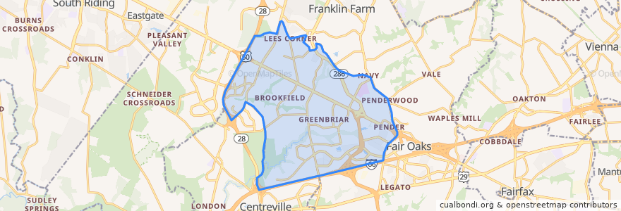
Chantilly
See in interactive map
Routes of public transport
Fairfax Connector Route 621 Fairfax County Government Center
Fairfax Connector Route 622 Penderbrook
Fairfax Connector Route 624 Stringfellow Road-Fair Lakes
Fairfax Connector Route 634 Stringfellow Road-Fair Lakes
Fairfax Connector Route 644 Centreville (Stone Road) Park & Ride-Vienna
Fairfax Connector Route 651 Chantilly-Brookfield
PRTC G-100 Gainesville-Washington OmniRide
PRTC G-200 Gainesville-Pentagon OmniRide
Stops
B
A
Points of interest
Red Pepper
Chick-fil-A
Pizza Hut
Tony's New York Pizza
The UPS Store
Capital One Bank
Subway
China Cafe
Bungalow Billiards
sweetFrog
SunTrust
Anita's New Mexico Style Restaurant
Subway
Bonefish
Fairfax Company Number 8 Police Station
Chantilly Dental Arts
Charcoal Chicken - Pakistani & Indian Cuisine
Paisano's
Briar Oaks Exxon
Chipotle
Lebanese Kitchen
Dunkin' Donuts
Papa John's
Starbucks
Noodles & Company
Apple FCU
Bagel Buddies
MOD Pizza
First Watch
King of Kings Lutheran Church