Login
Star users
Poll
Home
>
United States
>
New Hampshire
>
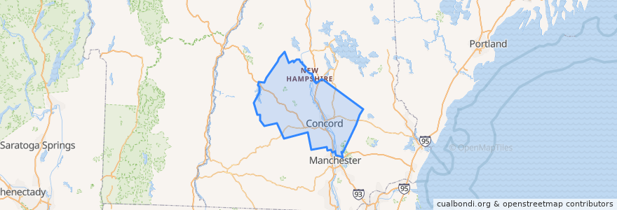
Merrimack County
Merrimack County
See in interactive map
Routes of public transport
Crosstown: Industrial Park Drive -> South Fruit Street
Crosstown: Industrial Park Drive -> South Fruit Street via DHHS
Crosstown: South Fruit Street -> Industrial Park Drive
Places
Concord
(3)
Allenstown
(0)
Andover
(0)
Boscawen
(0)
Bow
(0)
Bradford
(0)
Canterbury
(0)
Chichester
(0)
Danbury
(0)
Dunbarton
(0)
Epsom
(0)
Franklin
(0)
Henniker
(0)
Hill
(0)
Hooksett
(0)
Hopkinton
(0)
Loudon
(0)
Newbury
(0)
New London
(0)
Northfield
(0)
Pembroke
(0)
Pittsfield
(0)
Salisbury
(0)
Sutton
(0)
Warner
(0)
Webster
(0)
Wilmot
(0)
Points of interest
United Baptist Church
SEA/SEIU Local 1984
Bradford
Franklin Pierce College
Merrimack County
Unos
Margaritas
Tokyo Joe's Studio of Self Defense
Tandy's Top Shelf
Transform Dojo
Merrimack County Savings Bank
New Hampshire State Supreme Court
Whiskey & Wine
Trinity School;Trinity Baptist Church
Revelstoke Coffee
Hill
Tea Garden
Pembroke
Eastern Bank
Pittsfield
Concord Fire Department
Epsom
Live Juice
The Barley House
Rite Aid
Caring Family Dentistry
True Brew Cafe
Citizens Bank
Sugar River Bank
Subway