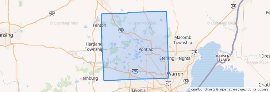
Routes of public transport
Stops
- -83.24253850000001, 42.473613900000004
- 10 Mile / Parkwoods Plaza (EB)
- Woodward / South Blvd (NB)
- Woodward / Cambourne NS (NB)
- -83.1995806, 42.547099
- -83.23783990000001, 42.472971
- 11 Mile / Campbell (WB)
- -83.118739, 42.504419000000006
- 11 Mile / Alden (WB)
- -83.2811618, 42.580902
- Telegraph / Paige Toyota (NB)
- -83.2039858, 42.5231749
- Grand River / Blanchard (EB)
- -83.28475560000001, 42.543812800000005
- Orchard Lake / Runnymede (NB)
- -83.1212016, 42.504376900000004
- -83.4005321, 42.4689916
- 10 Mile / Manistee (EB)
- 8 Mile / Schaefer (EB)
- -83.2841884, 42.4718425
- Maple / Maxwell (EB)
- -83.3137997, 42.66995
- -83.1699371, 42.4891352
- Telegraph / Norcrest (NB)
- Rutland / 9 Mile (SB)
- -83.1865327, 42.5511679
- -83.36053960000001, 42.540903400000005
- Woodward / Hickory Grove NS (SB)
- 10 Mile / Fairfax (WB)
- -83.28890720000001, 42.4844359
Points of interest
