Login
Star users
Poll
Home
>
United States
>
California
>
Santa Barbara County
>
Goleta
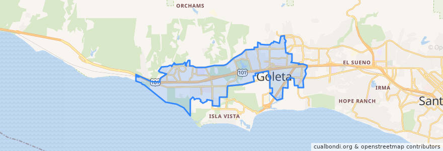
Goleta
See in interactive map
Routes of public transport
Calle Real/Old Town Shuttle
County Health/Fairview
County Health/Fairview
Goleta
Goleta Express
UCSB Express
Stops
Goleta Valley Community Center
Calle Real & Kingston
Encina Road & Fairview
Encina Road & Encina Lane
Storke & Hollister
Patterson & Overpass
Fairview & Encina
Hollister & Storke
Calle Real & Maravilla
Hollister & Coromar
Encina Road & Fairview
Calle Real & Kellogg
Hollister & Ward
Hollister & Pine
Encina & Calle Real
Calle Real Center
Calle Real & Kellogg
Calle Real & Maravilla
Encina & Calle Real
Calle Real & Kingston
Calle Real Center
Hollister & Kellogg
Hollister & Sumida Gardens
Calle Real & Patterson
Encina Road & Encina Lane
Points of interest
Z's Taphouse
Kyle's Kitchen
Kyle's Kitchen
The Imperial
Masala Spice Indian Cuisine
City of Goleta Police Marketplace Substation
Lucky Dragon
Jersey Mike's Subs
Los Agaves
Goleta
The Habit Burger Grill
Sam's To Go
The French Press
Subway
Goleta Neighborhood Dental Clinic
Santa Barbara County Fire Department Station #12
Cold Stone Creamery
CVS Pharmacy
Rusty's Pizza Parlor
Starbucks
Ming Dynasty
CVS Pharmacy
Pieology Pizzeria
Yogurtland
Chipotle
Hollister Brewing Company
Starbucks
Community West Bank
Rite Aid
Sushi Teri