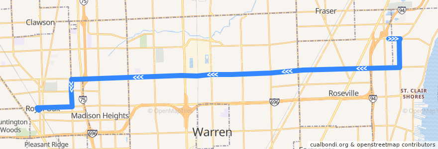
Route 740 WB: Roseville => Royal Oak
Places that travel to
Points of interest near the route
Stops:
- -82.97579300000001, 42.5083861
- 12 Mile / Scarborough (WB)
- -82.9569579, 42.5091246
- -83.0866599, 42.5051883
- 12 Mile / Coolidge St (WB)
- 12 Mile / Groesbeck NS (WB)
- -83.13308330000001, 42.490138900000005
- 12 Mile / John R (WB)
- -82.9007828, 42.5248909
- -83.09300040000001, 42.5050381
- -82.9738995, 42.5085002
- -82.9053909, 42.510272900000004
- Campbell / 12 Mile (SB)
- 12 Mile / Gilbert (WB)
- -82.9464014, 42.50938
- -82.8984776, 42.514116400000006
- 11 Mile / Farmer's Market (WB)
- -83.06139870000001, 42.5058506
- 12 Mile / Lorna (WB)
- -83.12472170000001, 42.4978921
- 12 Mile / Stephenson (WB)
- 12 Mile / Wagner (WB)
- 12 Mile / Hoover NS (WB)
- 12 Mile / Rymal (WB)
- -82.97816420000001, 42.508236700000005
- -83.07197830000001, 42.5056026
- 12 Mile / Fountain View Apartments (WB)
- -82.90881300000001, 42.5101898
- 11 Mile / Altadena (WB)
- 12 Mile / Van Dyke (WB)
- Campbell / Forest (SB)
- -82.89818310000001, 42.5241613
- 12 Mile / Warren Mott (WB)
- -83.0680952, 42.505702400000004
- -83.01437960000001, 42.5068799
- -83.0781242, 42.5054413
- 13 Mile / Willow Wisp (EB)
- -83.125045, 42.4903512
- -82.98432310000001, 42.507842200000006
- -83.0120782, 42.5069415
- -83.1089594, 42.5046649
- 12 Mile / Audrey (WB)
- 12 Mile / Rosemont NS (WB)
- 12 Mile / Galloway (WB)
- -83.0889183, 42.5051391
- 12 Mile / Brittany (WB)
- 12 Mile / Home Depot (WB)
- -82.9327492, 42.509713100000006
- -82.9151918, 42.5100866
- 12 Mile / Michigan (WB)
- -83.1399092, 42.489935200000005
- -83.0078991, 42.5070538
- Campbell / Gardenia (SB)
- -83.1474025, 42.4884514
- Harper / Violet NS (SB)
- 12 Mile / Dequindre (WB)
- -82.9367881, 42.5096404
- Campbell / University (SB)
- -83.12489880000001, 42.501806
- -83.1289102, 42.4902503