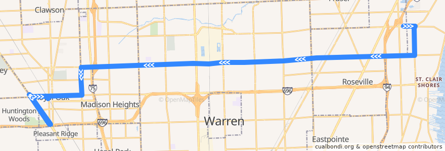
Route 740 WB: Roseville => Royal Oak via Detroit Zoo
Places that travel to
Points of interest near the route
Stops:
- 11 Mile / West (EB)
- -83.1377939, 42.489997100000004
- -83.1065763, 42.5047347
- -82.9464014, 42.50938
- 12 Mile / Tessmer (WB)
- -82.9118389, 42.5101348
- -83.1228585, 42.5043452
- -82.9544754, 42.5091766
- Harper / Violet NS (SB)
- -82.98777700000001, 42.5076375
- -83.1474025, 42.4884514
- 12 Mile / Panama (WB)
- 12 Mile / Bohn (WB)
- 12 Mile / Wagner (WB)
- -82.9738995, 42.5085002
- -83.14880140000001, 42.4897044
- 12 Mile / Lorna (WB)
- 12 Mile / Harper (WB)
- 13 Mile / Flora (EB)
- -83.1466762, 42.476854100000004
- 12 Mile / Groesbeck (WB)
- 12 Mile / Dover (WB)
- -83.0812585, 42.505337000000004
- -83.12472170000001, 42.4978921
- -83.15687460000001, 42.489525
- 13 Mile / Willow Wisp (EB)
- -83.15787830000001, 42.4894972
- -83.155715, 42.4859579
- 12 Mile / Groesbeck NS (WB)
- -83.1039547, 42.504786200000005
- Woodward / Washington (NB)
- -82.9258562, 42.5098715
- 12 Mile / Herbert (WB)
- -83.04742420000001, 42.5062159
- 12 Mile / Sherry (WB)
- -83.154289, 42.489589300000006
- 11 Mile / Maxwell (WB)
- -83.1545869, 42.489582600000006
- 12 Mile / Gratiot (WB)
- -83.15408950000001, 42.484224000000005
- 12 Mile / Shirley NS (WB)
- 12 Mile / Warren Mott (WB)
- Woodward / Lincoln Ave NS (SB)
- 12 Mile / Audrey (WB)
- 12 Mile / Galloway (WB)
- 12 Mile / James (WB)
- 12 Mile / Red Maple (WB)
- Campbell / University (SB)
- 11 Mile / Curry NS (WB)
- 12 Mile / Walmart (WB)
- -83.0120782, 42.5069415
- Woodward / Hudson NS (NB)
- 12 Mile / Dartmouth (WB)
- Campbell / 12 Mile (SB)
- 12 Mile / Schoenherr (WB)
- -83.09706130000001, 42.504937600000005
- -82.8991896, 42.5104077
- -83.1245021, 42.4920799
- 11 Mile / Farmer's Market (WB)
- -83.0360462, 42.506296000000006