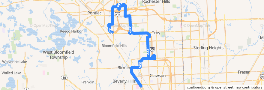
Route 465 SB: Auburn Hills => 13 Mile
Places that travel to
Points of interest near the route
Stops:
- -83.1840761, 42.5154378
- -83.16876570000001, 42.5904681
- -83.18270820000001, 42.5593238
- Adams / Bowers (SB)
- Woodward / Normandy (SB)
- -83.20557810000001, 42.5430585
- -83.2020844, 42.534135600000006
- Crooks / McManus NS (SB)
- Troy Civic Center Park and Ride Lot
- -83.16903640000001, 42.5966843
- -83.1680843, 42.561968
- -83.1677033, 42.572322
- -83.2520885, 42.6065629
- -83.1998423, 42.5318161
- -83.1849571, 42.5582197
- Maple / Coolidge (WB)
- Squirrel / Hamlin NS (SB)
- -83.1686181, 42.5876089
- Centerpoint / Opdyke (WB)
- -83.15457350000001, 42.562925
- Chrysler Stairwell
- -83.186839, 42.5575028
- -83.2485898, 42.6202385
- Adams / Woodward NS (SB)
- Centerpoint / Marriott (WB)
- -83.2252057, 42.6530179
- Crooks / Corporate (SB)
- -83.1866739, 42.547431800000005
- Opdyke / South (NB)
- Auburn / Juniper NS (EB)
- Crooks / Investment (SB)
- Big Beaver / Crooks (EB)
- Cooley Law School
- Big Beaver / McClure (WB)
- -83.1673449, 42.563674000000006
- Squirrel / Westbury Village (SB)
- -83.25013960000001, 42.6065909
- -83.17371320000001, 42.5617596
- Adams / Auburn (SB)
- -83.23501110000001, 42.6451281
- Big Beaver / Crooks (WB)
- -83.2338714, 42.6539427
- -83.1679395, 42.576363400000005
- Coolidge / Golfview (SB)
- Woodward / Fourteen Mile (SB)
- Woodward / Coolidge (SB)
- South / Centerpoint (EB)
- Adams / Maple (SB)
- -83.1539544, 42.5635434
- Somerset Collection
- -83.2098538, 42.633453800000005
- Chrysler Tech Center
- -83.2058014, 42.546809200000006
- -83.1556039, 42.566819100000004
- -83.192981, 42.5246908
- Civic Center / Town Center NS (SB)
- -83.1661811, 42.5617467
- -83.22031770000001, 42.6386075
- Woodward / Davis (SB)
- -83.2201447, 42.6483943