Log masuk
Pengguna bintang
Undian
Laman utama
>
Australia
>
Western Australia
>
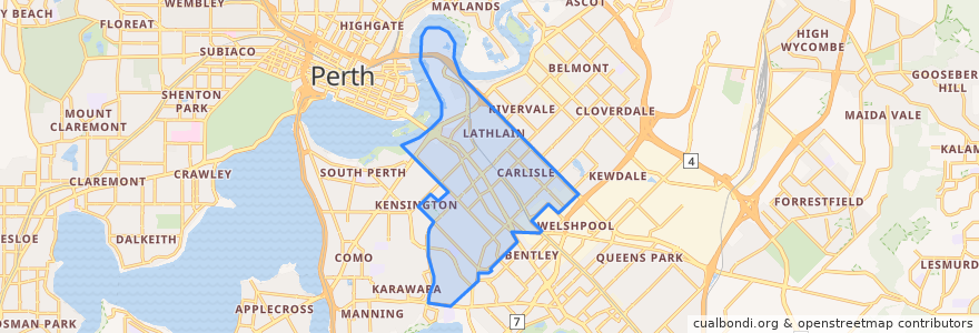
Town of Victoria Park
Town Of Victoria Park
Lihat di peta interaktif
Laluan pengangkutan awam
270F Elizabeth Quay Bus Station → High Wycombe Station
270T High Wycombe Station → Elizabeth Quay Bus Station
37F Oats Street Station → Airport Central Station
37T Airport Central Station → Oats Street Station
38F Perth Busport → Cloverdale
38T Cloverdale → Perth Busport
652F Perth Stadium Bus Station → Mirrabooka Bus Station
652T Mirrabooka Bus Station → Perth Stadium Bus Station
940F Elizabeth Quay Bus Station → Redcliffe Station
940T Redcliffe Station → Elizabeth Quay Bus Station
Bus 659: Fremantle => Perth Stadium
Bus 659: Perth Stadium => Fremantle
Perhentian
Causeway Bus Station Stand 6
Shepperton Road before Harper Street
Shepperton Road after Axon Avenue
Oats Street Station Stand 4
115.9169925, -31.973393700000003
Perth Statium Bus Station Stand 1
Oats Street after Grantham Place
Archer Street before Star Street
Oats Street after Harris Street
Archer Street before Orrong Road
Archer Street after Mars Street
Shepperton Road after Gresham Street
Shepperton Road after Axon Avenue
Perth Statium Bus Station Stand 15
Archer Street after Apollo Way
Shepperton Road before Miller Street
Archer Street after Gemini Way
Craig Street after Burswood Road
Oats Street before Orrong Road
Shepperton Road - Ursula Frayne Catholic College
Causeway Bus Station Stand 2
Oats Street before Planet Street
Shepperton Road after Mint Street
Great Eastern Highway after Cornwall Street
Oats Street after Planet Street
Perth Statium Bus Station Stand 14
Archer Street before Weston Street
Great Eastern Hwy Before Burswood Rd
Great Eastern Highway before Norwood Road
Archer Street after Raleigh Street
Tempat menarik
Town of Victoria Park