Login
Usuarios estrella
Encuesta
Inicio
>
Australia
>
Australia Occidental
>
City of South Perth
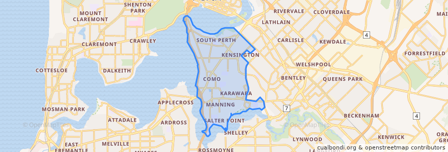
City Of South Perth
Ver en mapa interactivo
Recorridos de transporte público
35F Elizabeth Quay Bus Station → The Old Mill
35T The Old Mill → Elizabeth Quay Bus Station
Bus 158 to Perth
Bus 160 to Fremantle
Bus 659: Fremantle => Perth Stadium
Bus 659: Perth Stadium => Fremantle
Mandurah Line
Mandurah Line: Perth → Mandurah
Paradas
Mill Point Road before Stirling Street
Canning Hwy Before Cale St
Mill Point Road before Ferry Street
Mill Point Road before Scott Street
Canning Hwy After Orchid Ln
Canning Hwy After Cale St
Canning Hwy Before Collins St
Canning Hwy Before Birdwood Av
Canning Hwy After Thelma St
Canning Bridge Station Stand 4
Canning Bridge
Canning Hwy Before Norton St
Canning Bridge Station Stand 1
Canning Bridge Station Stand 2
Canning Hwy After Collins St
Mill Point Road after Stirling Street
Canning Bridge
South Perth Access Road before Mill Point Road
Puntos de interés
Karalee on Preston
City of South Perth
Dole & Salate
Red cabbage
Mount Henry Tavern