Conecte-se
Usuários estrela
Pesquisa
Início
>
Austrália
>
Austrália Ocidental
>
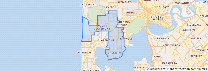
City of Nedlands
City Of Nedlands
Veja no mapa interativo
Rotas de transporte público
995F Elizabeth Quay Bus Station → Claremont Station
995T Claremont Station → Elizabeth Quay Bus Station
Airport Line: Claremont → High Wycombe
Airport Line: High Wycombe → Claremont
Fremantle Line: Fremante → Perth
Fremantle Line: Perth → Fremantle
Paradas
Stirling Highway before Loftus Street
Stirling Highway after Dalkeith Road
Stirling Highway before Ord Street
Stirling Highway after Smyth Road
Stirling Highway after Napier Street
Stirling Highway before Martin Avenue
Stirling Highway before Weld Street
Karrakatta
Loch Street
Shenton Park
Stirling Highway before Boronia Avenue
Stirling Highway before Vincent Street
Stirling Highway before Taylor Road
Karrakatta
Stirling Highway before Webster Street
Shenton Park