ログインする
スターユーザー
投票
ホーム
>
オーストラリア
>
西オーストラリア
>
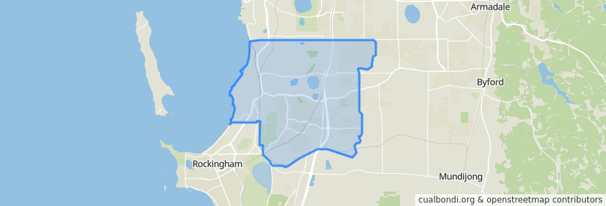
City of Kwinana
City Of Kwinana
インタラクティブマップで見る
公共交通機関のルート
537F Aubin Grove Station → Wandi
537T Wandi → Aubin Grove Station
Mandurah Line
Mandurah Line: Perth → Mandurah
ストップ
Honeywood Avenue after Drysdale Gardens
Wellard
Honeywood Avenue before Litoria Drive
Honeywood Avenue after Venus Lane
Honeywood Avenue before Labatt Gardens
Honeywood Avenue after Cascade Road
Honeywood Avenue Before Windjana Rise
Honeywood Avenue after Litchfield Circle
Honeywood Avenue after Barakee Road
Cordata Avenue before Atalaya Loop
Cordata Avenue after Atalaya Loop
Honeywood Avenue before Mornington Crescent
Honeywood Avenue after Litoria Drive
Honeywood Avenue after Labatt Gardens
Kwinana
Wellard
Cordata Avenue before Galah Way
Cordata Avenue after Galah Way
Honeywood Avenue before Bindarri Grove
興味がある点
City of Kwinana
Subway