Accesso
Utenti preferiti
Sondaggio
Homepage
>
Australia
>
Victoria
>
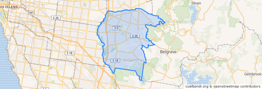
City of Knox
City Of Knox
Visualizza nella mappa interattiva
Percorsi di trasporto pubblico
Bayswater - Boronia via Pindari Drive
Bayswater - Wantirna Primary School via Pindari Drive
Belgrave Line (eastbound)
Belgrave Line (westbound)
Bus 732: Box Hill => Vermont South => Upper Ferntree Gully
Bus 732: Upper Ferntree Gully => Vermont South => Box Hill
Bus 900: Caulfield railway station => Stud Park Shopping Centre
Bus 900: Stud Park Shopping Centre => Caulfield railway station
Bus 901: Dandenong railway station => Ringwood railway station
Bus 901: Frankston railway station => Melbourne Airport
Bus 901: Melbourne Airport (SMARTBUS Service) => Frankston
Bus 901: Ringwood railway station => Dandenong railway station
Knox City SC - Bayswater via Pindari Drive
Stud Park SC - Heany Park
Fermate
Forest Rd / Burwood Hwy
Ferntree Gully
Bladon Street
Rosa Street
Kingsley Close
Knox City Shopping Centre (Bay 2)
Clarence Road
145.2567917, -37.8761657
Kelletts Road
Old Stud Road / Burwood Highway
The Close
Sunshine Street
Harcrest Boulevard
145.23091340000002, -37.9279293
Hartington Drive / Burwood Highway
145.2317475, -37.927694900000006
Swinburne TAFE
Centre Road
Bergins Road
Burwood Hwy/Dawson St
Glenifer Avenue
Burwood Highway
145.20807100000002, -37.8598566
Renou Road / Burwood Highway
Garrisson Grove
Boronia Road
Knox City Shopping Centre (Bay 2)
Roxburgh Road
Roxburgh Road
145.20801020000002, -37.860311
Punti di interesse
Melbourne
Boronia RSL
7-Eleven
CFA Scoresby
Boronia Station
Red Rooster
Community Pharmacy Wantirna
United
Red House
Bayswater Pizza & Pasta
Metro Cinemas
Big Al's Pizza
Forte School of Music
Chemist Warehouse
San Churro
Beans In A Row
Fifth Gen Roast Duck
Stud Park Fish and Chips
Coles Express
Mall Thai Restaurant
Lemon Leaf
Domino's
Cafe 1330
Myhealth
Commonwealth Bank
Wantirna Veterinary Clinic
Scoresby Charcoal Chicken
Knox Police Station
Goodstart Early Learning
Nandos