Accesso
Utenti preferiti
Sondaggio
Homepage
>
Australia
>
Victoria
>
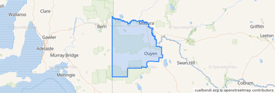
Rural City of Mildura
Rural City Of Mildura
Visualizza nella mappa interattiva
Percorsi di trasporto pubblico
Adelaide bus station => Albury railway station
Albury railway station => Adelaide bus station
Centro Mildura - Mildura (Kmart) via Ontario Avenue
Centro Mildura - South Mildura Loop
Centro Mildura - Wentworth via Mildura & Buronga
Melbourne (Southern Cross Station) - Mildura
Mildura (Kmart) - Centro Mildura via Ontario Avenue
Mildura - Melbourne (Southern Cross Station)
Fermate
Mildura Railway Station
Sharrock Street
Ouyen Community Park
General Store
Ouyen Community Park
Sharrock Street
General Store
General Store
General Store
General Store
Sharrock Street
General Store
Sharrock Street
Mildura Railway Station
General Store
General Store
Punti di interesse
The Bistro Mildura
Mildura Library
Bendigo Bank
doms
Mildura Noodle & Pasta Bar
Midura Brewery Pub
Subway
Curry & Tandoor
Greek Orthodox Church
Ramsay Specialist Health Clinic
OTR Mildura
Spanish Bar and Grill
Commonwealth Bank
Kking's Palace
blk.mlk Specialty Coffee
Sunny Kebabs
Noodle World
Sunray Pizza
Guzman y Gomez
The Province
ATM
It's Delish
Schnitz
Cold Rock Ice Creamery
Mildura Central Early Learning Center
Mobil
Mildura Gateway Tavern
Fossey's Distillery
ANZ
Pizza Café