Conecte-se
Usuários estrela
Pesquisa
Início
>
Austrália
>
Território do Norte
>
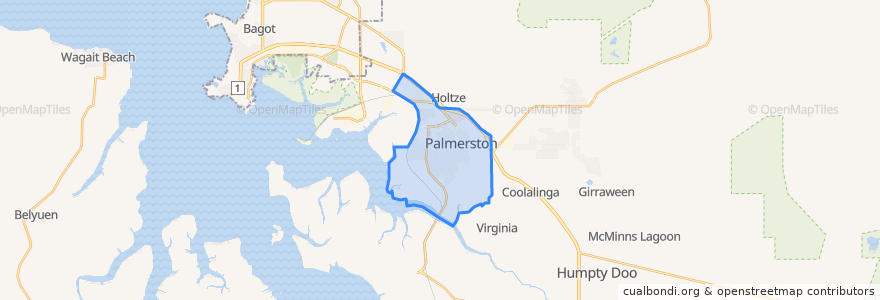
City of Palmerston
City Of Palmerston
Veja no mapa interativo
Rotas de transporte público
Bus 70b: Palmerston => Driver, Moulden, and Palmerston Christian School => Palmerston
Bus 70: Palmerston => Driver and Moulden => Palmerston
Bus 71: Palmerston => Woodroffe and Gray => Palmerston
Palmerston Terminus
Palmerston to Palmerston
The Ghan
Paradas
449 Raffles Road
Bonson Terrace (470)
Waterhouse Crescent
450 Raffles Road
Driver Av Shops
446 Chung Wah Terrace
Kafcaloudes Crescent
Sibbald Crescent (436)
Op Driver Primary (478)
Essington Avenue (448)
Raffles Road (451)
Driver Avenue
Driver Avenue
Moulden Terrace (472)
352 Maluka Drive
Driver Avenue (464)
Palmerston Interchange (925)
Bonson Terrace
447 Essington Avenue
Palmerston High School (444)
Raffles Road (450)
Driver Av Shops
435 Sibbald Crescent
Woodroffe Avenue (437)
Sibbald Crescent (435)
Kafcaloudes Cr (473)
Waterhouse Crescent (475)
430 Victoria Drive
Palmerston Interchange (925)
Palmerston Senior College
Pontos de interesse
People's Choice Bank
Hungry Jacks
National Australia Bank
Palmerston Golf and Country Club
Fresh Point
The Bell
Good Times Bar & Grill
KFC Palmerston
Covai Cafe
Australia Post Palmerston Shipping Center
City of Palmerston
Canteen
Hungry Dolphin
Lantern Chinese Restaurant
Palmerston
Madame Za by Rydges Palmerston
The Nook On Boulevard
Friday Night Market
K-Tong Chinese Restaurant
C-Max
Palmerston Tavern
Riva
Fuel Express