Oturum aç
Yıldız kullanıcılar
Anket
anasayfa
>
Brezilya
>
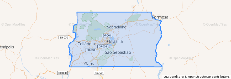
Federal Bölge
>
Região Geográfica Intermediária do Distrito Federal
>
Região Geográfica Imediata do Distrito Federal
Região Geográfica Imediata Do Distrito Federal
Etkileşimli haritada görüntüle
Toplu taşıma yolları
0.006 - Cruzeiro/Octogonal/Sudoeste/W3 Sul
382 - Setor O/Rodoviária do Plano Piloto (via Leste/Estrutural)
Linha 090
Linha Laranja: Central → Samambaia
Linha Laranja: Samambaia → Central
Linha Verde: Central → Terminal Ceilândia
Linha Verde: Terminal Ceilândia → Central
VNAVI-BRT
Yerler
Guará
(6)
Plano Piloto
(5)
Taguatinga
(5)
Águas Claras
(4)
Ceilândia
(3)
Cruzeiro
(2)
Samambaia
(2)
Santa Maria
(1)
SCIA
(1)
SIA
(1)
Sudoeste e Octogonal
(1)
Vicente Pires
(1)
Arniqueira
(0)
Brazlândia
(0)
Candangolândia
(0)
Fercal
(0)
Gama
(0)
Itapoã
(0)
Jardim Botânico
(0)
Lago Norte
(0)
Lago Sul
(0)
Núcleo Bandeirante
(0)
Paranoá
(0)
Park Way
(0)
Planaltina
(0)
Recanto das Emas
(0)
Riacho Fundo
(0)
Riacho Fundo II
(0)
São Sebastião
(0)
Sobradinho
(0)
Sobradinho II
(0)
Sol Nascente/Pôr do Sol
(0)
Durur
Feira
Guariroba
102 Sul
Ceilândia
Centro Metropolitano
Taguatinga Sul
Asa Sul
-47.912866400000006, -15.785305000000001
Galeria
Concessionárias
112 Sul
Samambaia
-47.9784037, -15.975630700000002
Arniqueiras
114 Sul
Shopping
Águas Claras
Central
Furnas
Estação Guará
Samambaia Sul
-47.9742213, -15.979293600000002
Ceilândia Norte
Praça do Relógio
108 Sul
Ceilândia Sul
Ceilândia Centro
Estrada Parque
-47.985638900000005, -15.992324000000002
İlgi noktaları
dave burguer
Drogasil
Banco de Brasília
Igreja Batista Ebenézer
Itaú
Igreja Pentecostal Jesus É O Caminho A Verdade E A Vida
Dog do Jhow
Burger King
Cantina 12
Açaí Energia e Saúde
Antonio's Restaurante
Empório Árabe
Restaurante e Bar Rocaille
Vicente Pires
Banco24Horas
Caixa Econômica Federal
McDonald's
Feira do Goiânos
Pizzaria Twins
Setor Hoteleiro Norte - Estação 5
Estação do Guaraná
Rodoviária Oeste - Estação 6
Ressacas Bar O Point do Peixe
Drogasil
Brasil Vexado
O Maior São João do Cerrado
Subway
Galeteria Gaucha
Magrelas Café
Caixa Econômica Federal