Log masuk
Pengguna bintang
Undian
Laman utama
>
Brazil
>
Jihovýchodní region
>
Espírito Santo
>
Região Geográfica Intermediária de Cachoeiro de Itapemirim
>
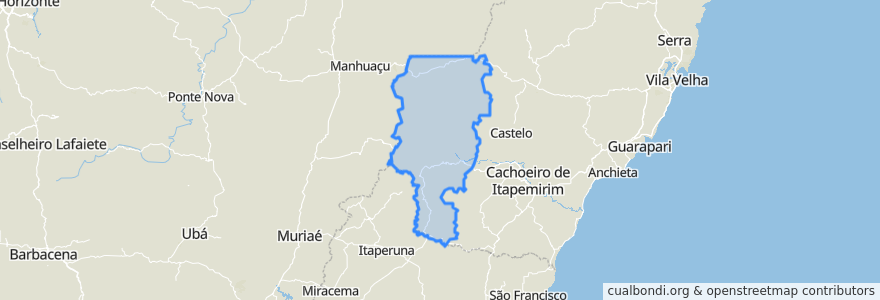
Região Geográfica Imediata de Alegre
Região Geográfica Imediata De Alegre
Lihat di peta interaktif
Laluan pengangkutan awam
056/0 Alegre x Bom Jesus do Norte via Guaçuí
056/0 Bom Jesus do Norte x Alegre via Guaçuí
149/0 Guaçuí / Patrimônio da Penha
149/0 Guaçuí / Santa Marta
149/0 Patrimônio da Penha / Guaçuí
149/0 Santa Marta / Guaçuí
165/0 Guaçuí / Mundo Novo
165/0 Mundo Novo / Guaçuí
Tempat
Guaçuí
(8)
Divino de São Lourenço
(4)
Alegre
(2)
Bom Jesus do Norte
(2)
Dores do Rio Preto
(2)
Ibitirama
(2)
São José do Calçado
(2)
Apiacá
(0)
Ibatiba
(0)
Irupi
(0)
Iúna
(0)
Muniz Freire
(0)
Perhentian
-41.674357300000004, -20.7706377
-41.6745157, -20.770769400000002
-41.530184000000006, -20.762621900000003
-41.760551400000004, -20.5858132
-41.8051314, -20.632597500000003
-41.5302032, -20.7628844
Tempat menarik
Caixa Econômica Federal
Unidade Básica de Saúde Doutor Aloísio Moreira Andrade
CMEI Maria Sarria Simões
Posto Caparaó
Rádio Sul Capixaba Fm
Igreja Matriz de São José
Instituto Educacional Santos Carvalheira Junior
Posto Portal do Caparaó
Igreja Católica de São José
Assembléia de Deus em Airituba
Posto Avançado da Justiça do Trabalho em Alegre
Auto Posto Monte Sião
Igreja de Nossa Senhora da Penha
Sicoob
Delegacia da Polícia Civil de São José do Calçado
Rodoviaria do Alegre
Ibitirama
Posto São Lorenço
Caixa Econômica Federal
Casa Veneranda Creche Vovó Cotinha
Lanchonete Big
Igreja Petencostal Deus em Cristo
EMEF Mundo Novo
Prefeitura Municipal de Alegre
Agência dos Correios de Guaçuí
Phytoformula
Biblioteca Pública Municipal Doutor Homero Mafra
Estratégia de Saúde da Família Doutor Abelha
Posto Xodó
Centro Médico Celso Luiz Tambara