تسجيل الدخول
مستخدمي ستار
تصويت
الصفحة الرئيسية
>
البَرَازِيل
>
المنطقة الشمالية الشرقية
>
سيرجيبي
>
Região Geográfica Intermediária de Itabaiana
>
Região Geográfica Imediata de Lagarto
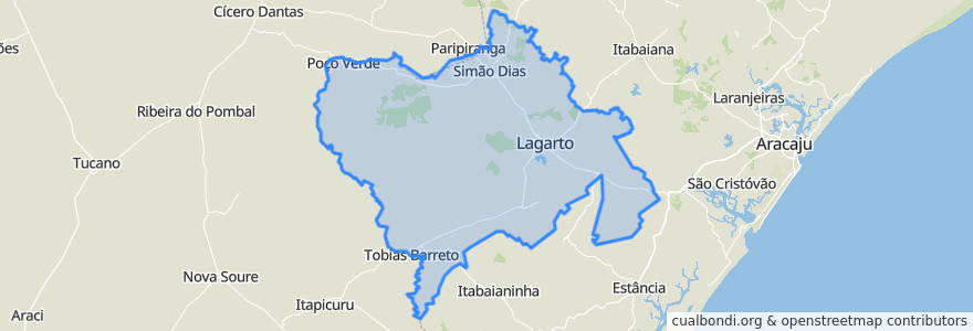
Região Geográfica Imediata De Lagarto
انظر في الخريطة التفاعلية
طرق النقل العام
Rota Aracaju Lagarto
Rota Lagarto Aracaju
أماكن
Lagarto
(2)
Salgado
(2)
Poço Verde
(0)
Riachão do Dantas
(0)
Simão Dias
(0)
Tobias Barreto
(0)
موقف
-37.6713058, -10.9214734
-37.5483278, -10.9870701
-37.6645076, -10.9272481
-37.6716416, -10.9205131
مجالات الاهتمام
Posto J Macario
Correios
Restaurant Cota
Policia Militar
Restaurante Carne de Sol
Restaurante e Choperia SD
Farmácia Oliveira
My Dream
Central Pharma Manipulações
Simão Dias
Posto Petrox
Nilma
Bar da Gaia
Vasclin
Fernando Lanches
Igreja Adventista do Sétimo Dia
Lan House e Cybercafé
Salgado
Poço Verde
Bar do Flamengo
Bar do Reginho
Microrregião do Centro Sul Sergipano
Tobias Barreto
Sushi Bar
Colégio Gennius Maximus
Farmacia GBarbosa
Igreja Adventista do Sétimo Dia
Sabor Nordestino
Região Geográfica Imediata de Lagarto
Confraria Paulistano