로그인
스타 사용자
투표
홈페이지
>
브라질
>
북부지방
>
파라
>
Região Geográfica Intermediária de Santarém
>
Região Geográfica Imediata de Santarém
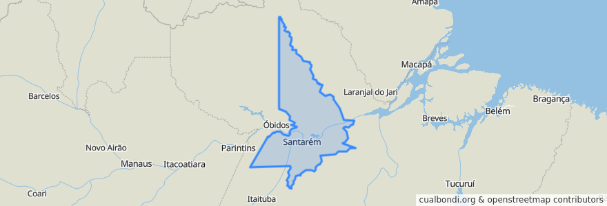
Região Geográfica Imediata De Santarém
대화식지도에서보기
대중 교통 경로
Diamantino
Liberdade
장소
산타렝
(2)
Alenquer
(0)
Belterra
(0)
Mojuí dos Campos
(0)
Monte Alegre
(0)
Prainha
(0)
가볼만한 곳
Ice Mel Sorvetes
Banco24Horas
Itaú
feira do aeroporto velho
Orelhão (3 telefones)
orelhão
Spokas
Sicredi
Farmácia Vitória
Banco24Horas
Monte Alegre
Droga Mais
Belterra
Massabor
Sorveteria Nido
Igreja São Paulo Apóstolo
Celeiro
Banco24Horas
Café Amorim.
Prainha
Microlins
Milk Shakers
Cohabão
Tribunal Regional do Trabalho (Provisório)
Igreja Cristo Libertador
Igreja Cristo Libertador
Clínica Cidadão
Churasquinho Sueli Falso
Churasquinho Sueli Verdadeiro
Restaurante Panela Cheia