로그인
스타 사용자
투표
홈페이지
>
브라질
>
남동지방
>
미나스제라이스
>
Região Geográfica Intermediária de Uberlândia
>
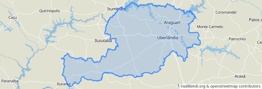
Região Geográfica Imediata de Uberlândia
Região Geográfica Imediata De Uberlândia
대화식지도에서보기
장소
Araguari
(0)
Araporã
(0)
Campina Verde
(0)
Canápolis
(0)
Cascalho Rico
(0)
Centralina
(0)
Indianópolis
(0)
Monte Alegre de Minas
(0)
Prata
(0)
Tupaciguara
(0)
우베를란지아
(0)
가볼만한 곳
Indianópolis
Região Geográfica Intermediária de Uberlândia
Tupaciguara
Cascalho Rico
Monte Alegre de Minas
Centralina
Campina Verde
우베를란지아
Prata
Região Geográfica Imediata de Uberlândia
Canápolis
Microrregião Uberlândia
Araporã
Araguari