Ouverture de session
Utilisateurs étoile
Sondage
Accueil
>
Brésil
>
Région Sud-est
>
Minas Gerais
>
Região Geográfica Intermediária de Ipatinga
>
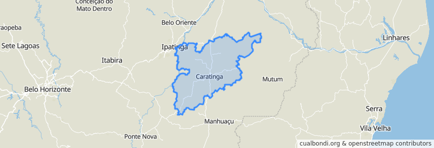
Região Geográfica Imediata de Caratinga
Região Geográfica Imediata De Caratinga
Voir sur la carte interactive
Itinéraires des transports publics
U01 - Aeroporto/Limoeiro
U01 - Limoeiro/Aeroporto
U02 - Aparecida/Zacarias
U02 - Aparecida/Zacarias até Seminário
U02 - Zacarias/Aparecida
U02 - Zacarias/Aparecida via Seminário
U03 - Bairro das Graças/Esperança
U03 - Bairro das Graças/Esperança via Aeroporto
U03 - Esperança/Bairro das Graças
U03 - Esperança/Bairro das Graças até Aeroporto
U04 - Aparecida/Monte Líbano
U04 - Monte Líbano/Aparecida
U05 - Bairro das Graças/Limoeiro
U05 - Limoeiro/Bairro das Graças
U06 - Doutor Eduardo/Santa Zita
U06 - Santa Zita/Doutor Eduardo
U07 - Habitacional/Santa Zita
U07 - Santa Zita/Habitacional
U08 - Esplanada/Habitacional
U08 - Habitacional/Esplanada
U09 - Esplanada/Santa Izabel
U09 - Santa Izabel/Esplanada
Endroits
Caratinga
(22)
Ubaporanga
(4)
Alvarenga
(0)
Bom Jesus do Galho
(0)
Córrego Novo
(0)
Entre Folhas
(0)
Imbé de Minas
(0)
Inhapim
(0)
Piedade de Caratinga
(0)
Raul Soares
(0)
Santa Bárbara do Leste
(0)
Santa Rita de Minas
(0)
São Domingos das Dores
(0)
São Sebastião do Anta
(0)
Vargem Alegre
(0)
Vermelho Novo
(0)
Points d'interêts
Tenda Chalabi
Vermelho Novo
Piedade de Caratinga
Ubaporanga
Regis Pizzaria
Inhapim
São Domingos das Dores
Drogacenter
Itaú
Cine Itaúna
Farmácia Indiana
Frutos de Goias
Vargem Alegre
Drogaria Líder
Farmácia Indiana
Igreja Casa da Benção
Banco do Brasil
São Sebastião do Anta
Centralfarma
Córrego Novo
JG Lanches
Sicoob
Drogarias Pacheco
Dom Mineiro Hamburgueria
Relogio Praça Getulio Vargas
Santa Bárbara do Leste
Alvarenga
Santa Rita de Minas
Correios
Drink Night