Accesso
Utenti preferiti
Sondaggio
Homepage
>
Brasile
>
Regione Sudest
>
San Paolo
>
Região Geográfica Intermediária de Campinas
>
Região Imediata de Piracicaba
>
Laranjal Paulista
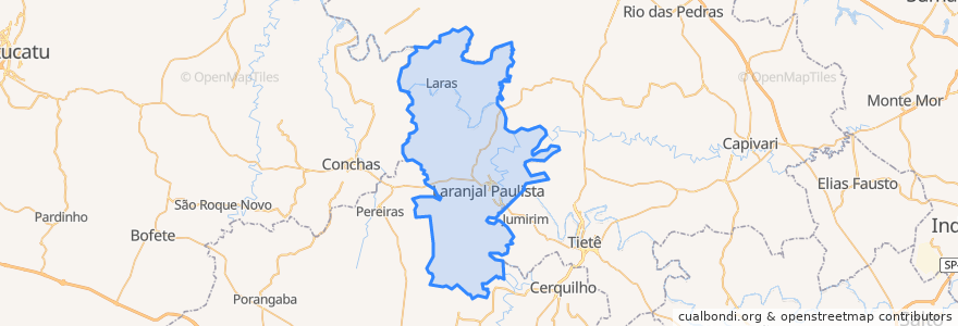
Laranjal Paulista
Visualizza nella mappa interattiva
Percorsi di trasporto pubblico
Laranjal Paulista ⇒ Laras
Laranjal Paulista ⇒ Maristela
Laras ⇒ Laranjal Paulista
Maristela ⇒ Laranjal Paulista
São Roque ⇒ Centro ⇒ Pedro Zanella
Fermate
Asfalto Velho
Câmara
Praça 7 de Setembro
Trevo do Morro Alto
Km 180
Lago Pedro Zanella
Avenida David Segatt
Nello Parducci
Escola Tia Célia
Sítio dos Brejos
Escola Isabel
Avenida Alfredo Marquesi 1
Semáforo da Barão
Rua João Ghiraldi 2
Recanto do Laranjal
Avenida Cesário
Km 180
Detran
Padaria Pansa
Taquaranxim
Jardim São Luiz
Governador Automóveis
Praça Dom Pedro II
Trevo do Bidico
Aracy Madeira
Largo Santo Antônio
João Roma
Fórum/Rodoviária
Barracão de Maristela
Rua João Ghiraldi 1
Punti di interesse
Drogaria Bifarma
Rei da Pizza
Loja Maçônica São João do Laranjal
Bruna Dias Manfrin Piveta
Centro Espírita de Umbanda Cacique Flecha Dourada
Bar do Oswaldo
Rodrigues Alves Prestadora de Serviços Médicos
Ponto de Táxi 12
Biblioteca Pública Professora Luiza Arruda
Drogaria São Benedito
La Donna Pizza
Centro de Atenção Psicossocial e Oficina Terapêutica
Centro Integrado do Adulto e da Criança
Associação Unidos da Melhor Idade de Laranjal Paulista
Clínica Sampaio
Drogaria Santa Maria
NaBrasa Burgers
Criaturas da Noite
Skina Bar
Igreja Evangélica O Brasil para Cristo
Bar do Carlão
Nabor Jose Machado Castanheira Junior
Drogal
Clínica Alves Lima
Eliana Aparecida Uguetto Ghiraldi
Guarda Civil Municipal
Ponto de Táxi 3
Banco Santander
Rota 94
Cantina da Ana