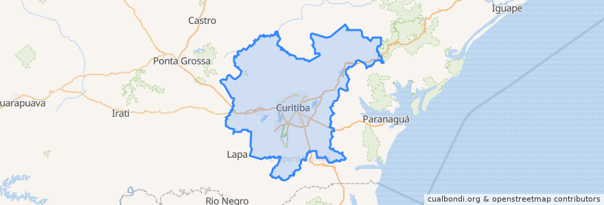
Região Geográfica Imediata De Curitiba
Routes of public transport
Stops
- Rua Eduardo Sprada, 4266
- -49.153140500000006, -25.3285656
- -49.299345, -25.319185400000002
- Terminal Jardim Paulista
- Rua Eduardo Sprada, 4651
- Av. João Nester, 250
- R. Elza Scherner Moro, 165
- Rua Velci Bolívar Grandó, 9
- Rua João Dembinski, 1532
- Vila Zumbi
- Praça Rui Barbosa (778)
- Estação Tubo Passeio Público
- Rua Doutor Gabriel Ferreira Filho, 322
- -49.22055, -25.581483000000002
- Rodovia do Calcário
- Rua José Hauer, 819
- Av. Comendador Franco, 5361
- Terminal Fazendinha - 778 - Cotolengo
- -49.249286000000005, -25.631716
- Terminal Cabral (B20 / B89)
- Av. Visconde de Guarapuava, 2616
- Av. Comendador Franco, 5050
- Rua Doutor Bley Zorning, 3155
- Praça Rui Barbosa (777 / 788)
- -49.2738597, -25.423678900000002
- Estação Tubo Carlos Dietzsch
- Terminal CIC - 210 - CIC/Cabral - 601 - CIC / Tiradentes
- Rua Engenheiro Benedito Mário da Silva, 185
- Rua Gabriel de Lara, 35
- Cabral/Osório
Points of interest