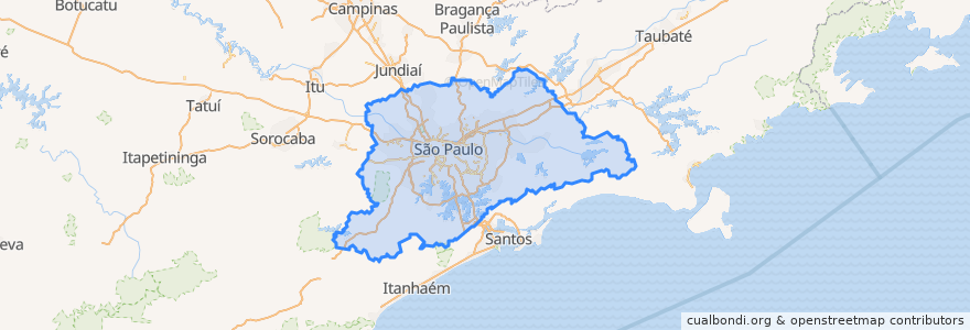
Região Imediata De São Paulo
Routes of public transport
Stops
- -46.607274800000006, -23.541950200000002
- Jundiapeba
- -46.6712113, -23.473457900000003
- -46.718726700000005, -23.4570365
- -46.577978200000004, -23.5072702
- Rua Juan Aldama
- -46.3925138, -23.7440527
- -46.6897183, -23.5325531
- Estrada Engenheiro Marsilac, 5923
- Avenida 9 de Julho, 1341 | Parada Jamil
- -46.5149318, -23.665731700000002
- Rua Encruzilhada Do Sul
- -46.592070400000004, -23.5093412
- -46.6117507, -23.496054
- -46.5801821, -23.621981700000003
- Palmeiras - Barra Funda
- -46.749478200000006, -23.577774
- Rua Com. Antunes Dos Santos, 1314
- Avenida Coronel Sezefredo Fagundes, 20995
- Avenida Jornalista Paulo Zing, 570
- Guaiúba B/C
- Rua Salvador Rodrigues Negrão, 241
- Avenida Ede, 781
- -46.6467729, -23.6087518
- Parada E.E.Profª Yolanda Noronha do Nascimento
- Rua Carlos Blum, 302
- -46.659795700000004, -23.5236786
- São Lucas
- Avenida Corifeu De Azevedo Marques, 5677
- Rua Cavalo Marinho, 843
Points of interest