Ouverture de session
Utilisateurs étoile
Sondage
Accueil
>
Brésil
>
Région Nord-est
>
Ceará
>
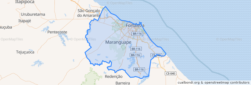
Região Geográfica Intermediária de Fortaleza
Região Geográfica Intermediária De Fortaleza
Voir sur la carte interactive
Itinéraires des transports publics
228 - Tabapuá
Campus do Pici
Cj Ceará 1ª Etapa
Linha Oeste: Caucaia ⇒ Estação Moura Brasil
Linha Oeste: Estação Moura Brasil ⇒ Caucaia
Linha Parangaba-Mucuripe: Iate ⇒ Parangaba
Linha Parangaba-Mucuripe: Parangaba ⇒ Iate
Linha Sul: Carlito Benevides ⇒ Central-Chico da Silva
Linha Sul: Central-Chico da Silva ⇒ Carlito Benevides
Endroits
Região Geográfica Imediata de Fortaleza
(9)
Região Geográfica Imediata de Canindé
(0)
Região Geográfica Imediata de Itapajé
(0)
Região Geográfica Imediata de Itapipoca
(0)
Região Geográfica Imediata de Redenção-Acarape
(0)
Arrêts
Virgílio Távora
Parada Biblioteca Central
Parangaba
Parque Albano
-38.6123883, -3.7370449000000003
Parangaba
Aracapé
Porangabussu
Parada Departamentos de Química e Física
Montese
Alto Alegre
São João do Tauape
Alto Alegre
Tirol - Moura Brasil
Vila Pery
Conjunto Ceará
Antônio Sales
Montese
Seletivo Metropolitano
Juscelino Kubitschek
Papicu
Borges de Melo
Benfica
Parada Secretaria de Tecnologia da Informação
Vila União
São Benedito
Jereissati
-38.5734112, -3.7471071
Aracapé
São Benedito
Points d'interêts
Terminal do Industrial
Farmácia Local
Ceviche Sushi
Imperador Pizzariae Lanchonete
Igreja Católica Conjunto Ceará
Clinica de Fisioterapia Parangaba
Fateci
Banco Santander
Esquina dos Amigos Bar e Churrascaria
Casa de Lanches
Omnimagem
Villa Mará
Tudão lanches
Restaurante Paz e Dantas
Praça Carlito Pamplona
Varandão Churrascaria e Pizzaria
Baratão dos Medicamentos
Bradesco
Mercado Parangaba
Intelecto
Caixa Econômica Federal
Luna Motel
Quero Viver Fortaleza
HB Lanches
Ponto do Lanche
Bradesco
Faculdade de Odontologia UFC
Centro Juvenil Dom Bosco
Centro de educação de jovens e adultos Professor Gilmar Maia de Sousa
Hospital Regional Unimed Fortaleza