Log masuk
Pengguna bintang
Undian
Laman utama
>
Switzerland
>
St. Gallen
>
Wahlkreis Sarganserland
>
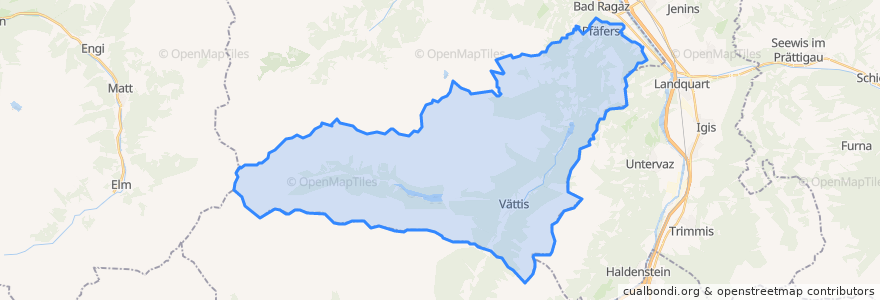
Pfäfers
Pfäfers
Lihat di peta interaktif
Laluan pengangkutan awam
Bus 451: Bad Ragaz → Pfäfers → Gigerwald
Bus 451: Bad Ragaz → Pfäfers → Vättis
Bus 451: Gigerwald → Pfäfers → Bad Ragaz
Bus 451: Vättis → Pfäfers → Bad Ragaz
Bus 452: Bad Ragaz → Valens, Klinik
Bus 452: Valens, Klinik → Bad Ragaz
Bus 453: Bad Ragaz → Pfäfers, Altes Bad
Bus 453 (Schluchtenbus)
Bus 454: Pfäfers → Vadura → St. Margrethenberg
Bus 454: St. Margrethenberg → Pfäfers
Bus 454: St. Margrethenberg → Vadura → Pfäfers
Perhentian
Tschenner
Valens Post
Abzweigung Bläs
Balen-Gassaura
Grosswies
Pfäfers Klinik
Vadura Dorf
Gigerwald Staudamm
Eselrank
Abzweigung Bläs
Altes Bad
Mapragg
Balen-Gassaura
Gigerwald Staudamm
Sandgrueb
Grosswies
Taminabrücke
Schwattenfall
Alpenrösli
Valens Klinik
Ragol
Duonig
Tristeli
Vättis Dorf
Balen-Gassaura
Alpenrösli
Sandgrueb
Duonig
Duonig
St. Margrethenberg Dorf
Tempat menarik
Pfäfers
Pfäserser Steg
Brünneli
Langegg
Taminaschlucht
Langi Mur
Sandgrueb
Schwattenfall
JVC
Gideon
Lenzbänkli
Gloggenstuel
Perjutt Platten
Altes Bad Pfäfers
Felsentor
Schwattenfall
Sügga Töbeli
Seilerbank
Kinderhuus