Accesso
Utenti preferiti
Sondaggio
Homepage
>
Germania
>
Baviera
>
Distretto dell'Alta Franconia
>
Landkreis Hof
>
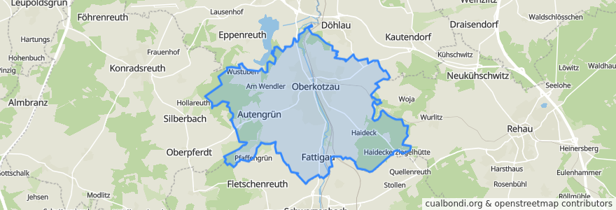
Oberkotzau
Oberkotzau
Visualizza nella mappa interattiva
Percorsi di trasporto pubblico
AlexNord: Hof => München
AlexNord: München => Hof
RB 96: Hof => Selb
RB 96: Selb => Hof
RB 97: Bad Steben => Bayreuth
RB 98: Helmbrechts => Hof
RB 99: Hof => Münchberg
RB 99: Münchberg => Hof
RE 31: Hof => Nürnberg
RE 31: Nürnberg => Hof
RE 35: Bamberg => Hof
RE 35: Hof => Bamberg
VB3 Hof ⇔ Regensburg (Vogtlandbahn)
Fermate
11.932110600000001, 50.2659746
Oberkotzau
Oberkotzau
Oberkotzau
Punti di interesse
Rathaus
JR's Boxenstopp
Oberkotzau
Freiwillige Feuerwehr Fattigau
Efeler Döner Notruf
Schloßstubn
Eisdiele
Markt Apotheke
Waldgastätte Friedrichsruh
Steinbock-Apotheke
Ratsstube
Gemeindebücherei Oberkotzau
Kindergarten St. Antonius
Dr. med. Reinhold Nöll
Dr. Peter Dressel
Sei-Dreiber-Brunnen
Thessalonikios
Freiwillige Feuerwehr Oberkotzau
Fernweh
La Grotta
Gemeinschaftspraxis Dr. Elfes & Dr. Kytzia
Da Maria
Braukeller
Venezia
Pizzeria La Grotta
MemoDöner
Gemeinschaftspraxis Dres. Presch/Dr. Klein-Grünert
Heinritz
Andreas Ziegler
Deutsche Post annahmestelle