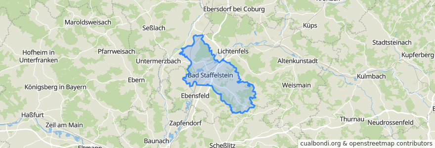
Routes of public transport
Stops
- 11.082367600000001, 50.0656527
- 11.083111500000001, 50.067727000000005
- 11.074554800000001, 50.0569235
- 11.0323417, 50.101010300000006
- 11.0777303, 50.0840424
- Horsdorf
- Frankenring
- Unterzettlitz
- Grundfeld Schule
- Romansthal
- 11.031369000000002, 50.1154062
- 10.9939447, 50.105119200000004
- Stublang
- 11.0108596, 50.118389400000005
- 11.0132265, 50.0837779
- Bad Staffelstein
- 11.0003749, 50.1004571
- Grundfeld Vierzehnheiligener Straße
- 11.0944227, 50.0453947
- 10.9830047, 50.1035424
- Wiesen
- 11.0814675, 50.0813342
- Weisbrem
- 11.068551300000001, 50.085891200000006
- 10.9930803, 50.101605400000004
- 10.9888011, 50.103762700000004
- Schönbrunn
- 10.9754912, 50.092969700000005
- Grundfeld Vierzehnheiligener Straße
- Tiefenthal
Points of interest