تسجيل الدخول
مستخدمي ستار
تصويت
الصفحة الرئيسية
>
ألمانيا
>
بادن فورتمبرغ
>
Regierungsbezirk Stuttgart
>
Landkreis Schwäbisch Hall
>
Verwaltungsgemeinschaft Schwäbisch Hall
>
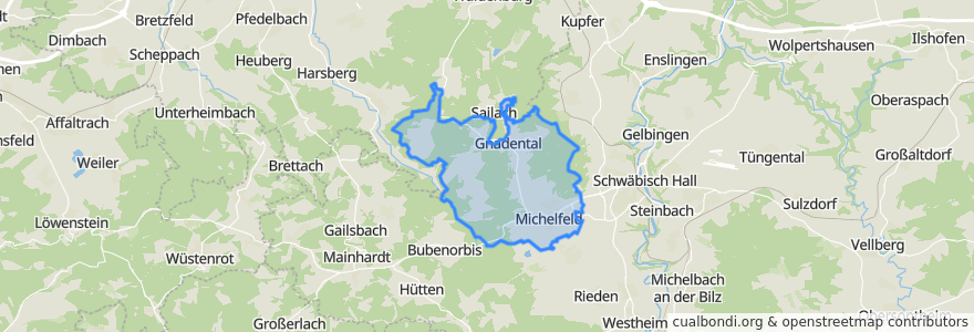
Michelfeld
Michelfeld
انظر في الخريطة التفاعلية
طرق النقل العام
Bus 20: Schwäbisch Hall => Wüstenrot
Bus 20: Wüstenrot => Schwäbisch Hall
Bus 2: Hessental => Kerz
Bus 2: Kerz => Hessental
Bus 32: Kerz => Waldenburg
Bus 32: Waldenburg => Schwäbisch Hall
Bus 3: ZOB => ZOB
Bus 9: Hessental => Kerz
Bus 9: Kerz => Hessental
موقف
Rinnen Abzweig
Baierbach
Michelfeld Kerz B 14
Gnadental
Abzweig Bibersfeld
Modepark Röther
Michelfeld Abzw. Gnadental
Kerz Augenzentrum
Waldfriedhof
Michelfeld Kerz B 14
Michelfeld Abzw. Gnadental
Gasthaus Adler
Sportplatz
9.6580191, 49.1225789
Sportplatz
Erlin
Kerz Augenzentrum
Baierbach
Modepark Röther
Gnadental
مجالات الاهتمام
Kindergarten Gnadental
Vitalwelt Apotheke
Stage Live Club
Offenes Bücherregal
Subway
Ammos
Dr. Markus Klostermann & Dr. Ulrich Brözel
Gasthaus Hobelbank
Michelfeld
Adler
Sparkasse
Lotus - Hund Katze Maus