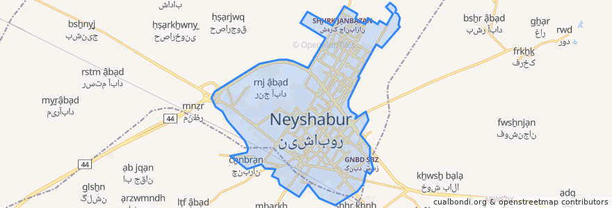
Routes of public transport
Stops
- 58.797137000000006, 36.2382197
- 58.757385400000004, 36.1996314
- 58.8086691, 36.1903236
- 58.787018700000004, 36.2261036
- حافظ
- 58.778280300000006, 36.217952000000004
- 58.806076000000004, 36.1928652
- 58.7610614, 36.199703500000005
- 58.790101400000005, 36.217134200000004
- 58.790435800000004, 36.215378900000005
- 58.802330600000005, 36.196577600000005
- 58.810137700000006, 36.2264052
- 58.757107000000005, 36.1994659
- شهدای مدافع حرم
- 58.79187520000001, 36.1985183
- 58.7831199, 36.2001921
- 58.785166100000005, 36.198959900000006
- 58.7925935, 36.2340535
- 58.80072070000001, 36.2166213
- 58.775144700000006, 36.1963748
- 58.796243100000005, 36.2104938
- 58.7958094, 36.2253859
- 58.7773083, 36.1959151
- 58.788191000000005, 36.198897200000005
- 58.8061324, 36.1936401
- 58.793941600000004, 36.206279300000006
- 58.7860622, 36.1984385
- 58.7983886, 36.213457000000005
- 58.8001073, 36.215535200000005
- 58.7886401, 36.2199906
Points of interest