Login
Star users
Poll
Home
>
Japan
>
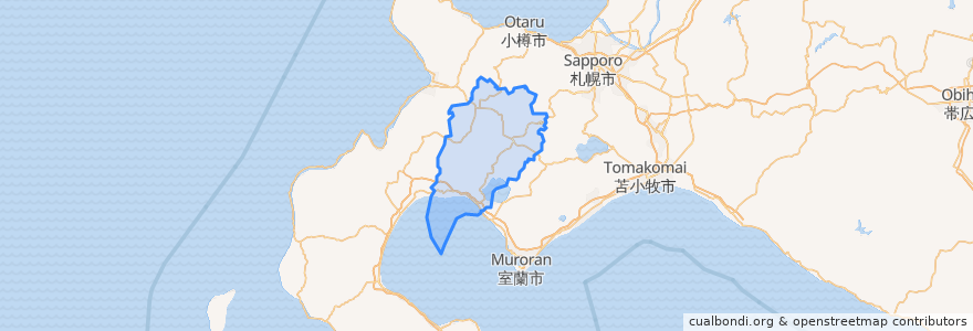
Hokkaido Prefecture
>
Abuta County
Abuta County
See in interactive map
Routes of public transport
Bus Niseko United Shuttle Bus: Hanazono → Ikoi-no Yuyado Iroha
Bus Niseko United Shuttle Bus: Ikoi-no Yuyado Iroha → Hanazono
Bus : ヒルトンニセコビレッジ => ひらふ => 倶知安駅前
Bus : 倶知安駅 => ひらふ => ヒルトンニセコビレッジ
Bus : 倶知安駅前 => 樺山小学校
Bus : 樺山小学校 => 倶知安駅前
Grand Shuttle bus Via main village
Stops
Hirafu Gondola
Fujiyama
Kabayama East
Kabayama
Niseko Village Ski Center
Kutchan Information Center "Plat"
Lerch Park (Max Valu)
Milk Kobo
Hirafu intersection
Kutchan Bridge
Yamada Intersection
Higashiyama
Kabayama Elementary School
Kutchan Information Center "Plat"
Kabayama North
Milk Kobo
Aspenwood
Takasago
Hirafu intersection
Driving School
Kabayama Elementary School
Annupuri Entrance
Northen Resort Annupuri
Self-Defense Force Main Gate
Hilton Niseko Village
Kabayama North
Niseko Village Ski Center
Kamakura
Hanazono
Midtown Niseko
Points of interest
Kyōgoku
Rusutsu
Kutchan
Toyako
Makkari
Toyoura
Kimobetsu
Niseko
Abuta County