Login
Star users
Poll
Home
>
New Zealand
>
Canterbury
>
Christchurch City
>
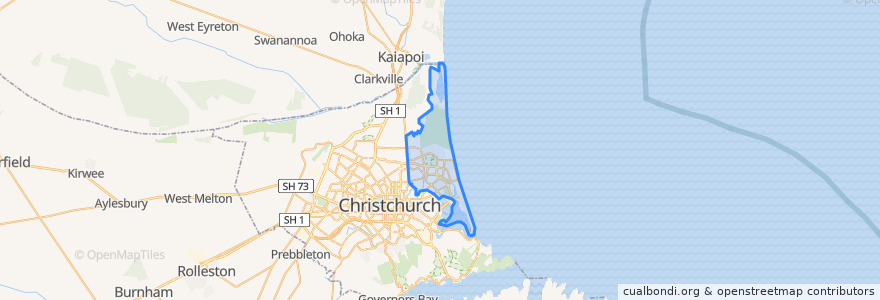
Coastal-Burwood Community
Coastal-Burwood Community
See in interactive map
Routes of public transport
100 The Palms/Wilgrim
100 Wigram/The Palms
135 New Brighton/The Palms
135 The Palms/ New Brighton
3 Sheffield Crescent to Sumner
3 Sumner to Airport
3 Sumner to Sheffield Crescent
44 Shirley to Westmorland
44 Westmorland to Shirley
5 New Brighton to Rolleston
5 Rolleston to New Brighton
5 Rolleston to New Brighton
60 Hillmorton to Southshore
60 Southshore to Hillmorton
7 Halswell to Queenspark
7 Queenspark to Halswell
80 Lincoln to Parklands
80 Parklands to Lincoln
Orbiter Clockwise
Purple Line (Airport-Sumner)
Stops
The Palms (New Brighton Rd)
Cresswell Ave near Gayhurst Rd
Queenspark
New Brighton Rd near Bampton St
Queenspark
North Parade
New Brighton (Beresford St)
Burwood Rd near Rothesay Rd (stop 45546)
Queenspark Dr near Inwoods Rd
Burwood Rd near Rothesay Rd (stop 50037)
Prestons (Te Korari St)
Gayhurst Rd near Coopers Rd
Taiora/QEII
Burwood Hospital - Mairehau Rd
Marine Parade near Beresford Street
New Brighton (Oram Ave)
Points of interest
Coastal-Burwood Community