Perhentian
- Bank Street, opposite Dolphin Street
- North Rd, 17
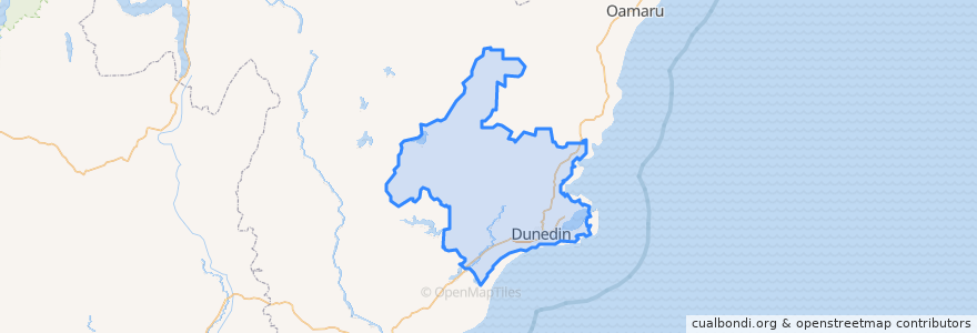
- Dunedin
- Waitati
- North Rd, 80
- Princes St, 151
- George Street, 745
- Highcliff Rd, 113
- Highcliff Rd, 281
- King Edward St, 135
- North Rd, 399
- North Rd, 236
- North Rd, 79
- George Street, 1081
- Princes St, 398
- George Street, 607
- North Rd, 169
- North Rd, 118
- Macandrew Rd, 240
- Macandrew Rd, 257
- North Rd, 292
- Forbury Rd, 161
- Signal Hill Road, 160
- Opoho Road, corner Lovelock Ave
- North Rd, 253
- North Rd, 30
- Musselburgh Rise, 79
- George Street, 984
- Opoho Road, Gardens
- Princes St, Jean McLean Pavillion
Tempat menarik