Login
Star users
Poll
Home
>
United States
>
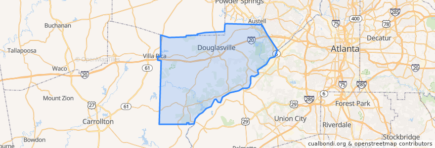
Georgia
>
Douglas County
Douglas County
See in interactive map
Routes of public transport
Bus 10: Aurty Circle @ Avalon => Arbor Place Mall
Places
Douglasville
(1)
Stops
Pounds Circle
Gruley Rd @ Community Ctr
Douglas Blvd @ Arbor Place Mall
Aurty Circle @ Avalon
Points of interest
Warren Chapel Methodist Episcopal Church
Crossroads for Life Ministries
Valero
Texaco
Car Wash
Saint James Methodist Church
Bank of America
Popeyes
Chinese Pagoda
KFC
Hudson's Hickory House
John W Stewart Middle School
Prestige Learning Academy
Olive Garden
Douglas County Station 11 Fire Station
Topps Bar
Douglasville Police Station
IHOP
Douglas County Fire/EMS Headquarters
Irish Bred Pub & Restuarant
Harvest Christ Church
Douglas County
LT Professional Handwash & Express
Douglasville
Taco Mac