Login
Star users
Poll
Home
>
United States
>
California
>
San Bernardino County
>
Victorville
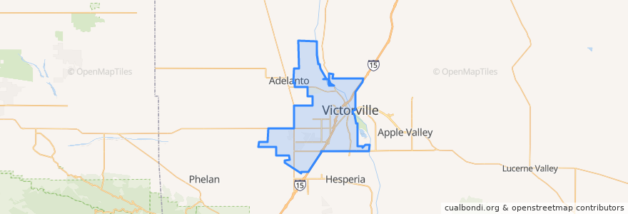
Victorville
See in interactive map
Routes of public transport
Flixbus 2009: Las Vegas/Henderson => Los Angeles
Flixbus 2009: Las Vegas/Henderson => Los Angeles/Anaheim
Flixbus 2009: Los Angeles/Anaheim => Las Vegas/Henderson
Flixbus 2009: Los Angeles => Las Vegas/Henderson
Flixbus 2016: Las Vegas => San Diego
Flixbus 2016: San Diego => Las Vegas
VVTA 31 Victorville/South Adelanto
VVTA 50 Victorville/Hesperia/Victor Valley College
VVTA 51 Victorville Circulator
VVTA 52 Victorville/Victor Valley Mall
Stops
FlixBus Victorville
-117.31919070000001, 34.5144001
FlixBus Victorville
-117.3189868, 34.514403900000005
-117.3183793, 34.514410000000005
-117.26507570000001, 34.473812800000005
-117.26499530000001, 34.473356800000005
-117.31732650000001, 34.5144194
Points of interest
Arco
Victor Primary School
Bank of America
Wells Fargo
Marie Callender's Restaurant & Bakery
Imogene Garner Hook Junior High School
Joint Heirs Christian Fellowship Church
Seventh Day Adventist Church of Green Tree
Lorene & 7th Transfer Center
Popeyes
Veteran Administration Clinic
McDonald's
Del Taco
Richie's Real American Diner
First Assembly of God Church
Victorville
Chevron
Saint Joan of Arc Catholic Church
Sacred Heart Seminary
Arco
Del Ray Elementary School
Steak 'n Shake
Victor Valley Transit Center
Victorville Speedwash
FedEx Ship Center
Farmer Boys
Arco
El Pollo Loco
Alaska USA Federal Credit Union
High Desert Church