Login
Star users
Poll
Home
>
United States
>
California
>
San Bernardino County
>
Victorville
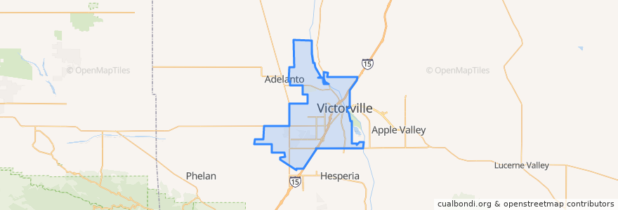
Victorville
See in interactive map
Routes of public transport
Flixbus 2009: Las Vegas/Henderson => Los Angeles
Flixbus 2009: Las Vegas/Henderson => Los Angeles/Anaheim
Flixbus 2009: Los Angeles/Anaheim => Las Vegas/Henderson
Flixbus 2009: Los Angeles => Las Vegas/Henderson
Flixbus 2016: Las Vegas => San Diego
Flixbus 2016: San Diego => Las Vegas
VVTA 31 Victorville/South Adelanto
VVTA 50 Victorville/Hesperia/Victor Valley College
VVTA 51 Victorville Circulator
VVTA 52 Victorville/Victor Valley Mall
Stops
-117.31919070000001, 34.5144001
FlixBus Victorville
-117.26499530000001, 34.473356800000005
-117.31732650000001, 34.5144194
FlixBus Victorville
-117.3183793, 34.514410000000005
-117.26507570000001, 34.473812800000005
-117.3189868, 34.514403900000005
Points of interest
The Church of Jesus Christ of Latter-day Saints
Bamidbar Shel Ma'alah
Unocal
Walgreens
KFC
Valero
Adat Elohim Chai'im Church
Victor Primary School
Del Taco
Seventh Day Adventist School
Victorville Branch San Bernardino County Library
Holy Faith Baptist Mission
Nails & Spa
McDonald's
Arco
Victor Christian School
Carl's Jr.
Seventh Day Adventist Church of Green Tree
Arco
Coco's
Victor Valley Bible Church
Marie Callender's Restaurant & Bakery
Popeyes
CVS Pharmacy
Saint Mary Coptic Orthodox Church
Saint Joan of Arc Catholic Church
Jack in the Box
Steak 'n Shake
Subway
Irwin Elementary School