Login
Star users
Poll
Home
>
United States
>
California
>
San Diego County
>
El Cajon
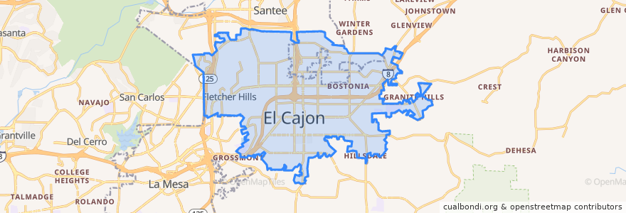
El Cajon
See in interactive map
Routes of public transport
MTS 115A
MTS 854
MTS 854X
MTS 872
MTS 874
Orange Line: Arnele Avenue => Courthouse
Orange Line: Courthouse => Arnele Avenue
Sycuan Green Line: 12th & Imperial Transit Center => Santee Town Center
Sycuan Green Line: Santee Town Center => 12th & Imperial Transit Center
Stops
El Cajon
El Cajon
Gillespie Field
Gillespie Field
Arnele Avenue
Arnele Avenue
Points of interest
Urbn St. Brewing Co.
Chase Elementary School
Rock Church
McDonald's
Iglesia Bautista de el Cajon
First Baptist Church of El Cajon
Subway,starbucks,panda express,arbys.
Long John's Silver
Carl's Jr.
Heartland Fire Training Center
The Circle Preschool
Jack in the Box
Finest thai
Stagehouse Theatre
Grace Fellowship Church
Rubio's Baja Grill
Luckyz Sports Pub
El Pollo Loco
Calvary Chapel of el Cajon Preschool
California Flight Academy
Johnson Avenue Elementary School
Subway
Teaching of the Inner Christ Church
Opus bank
Revco
Avis Rent A Car
Iglesia Pentecostal el Buen Pastor
Broadway Plaza Centre
Santee Christian Church
Walgreens