Login
Star users
Poll
Home
>
United States
>
California
>
San Diego County
>
El Cajon
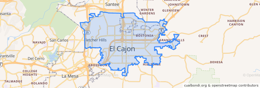
El Cajon
See in interactive map
Routes of public transport
MTS 115A
MTS 854
MTS 854X
MTS 872
MTS 874
Orange Line: Arnele Avenue => Courthouse
Orange Line: Courthouse => Arnele Avenue
Sycuan Green Line: 12th & Imperial Transit Center => Santee Town Center
Sycuan Green Line: Santee Town Center => 12th & Imperial Transit Center
Stops
El Cajon
El Cajon
Arnele Avenue
Arnele Avenue
Gillespie Field
Gillespie Field
Points of interest
McDonald's
Luckyz Sports Pub
Bostonia Elementary School
Holy Trinity Catholic Church
Shadow mountain community church Arabic congregation
KFC
Mis Dos Gallos Taqueria, Fruit & Deli
Stagehouse Theatre
Fire Station #7
House Of Draught No 2
Naranca Elementary School
California Flight Academy
Quiznos
Arby's
McDonald's
Saint Ephrem Mission
Maranata Iglesia Cristiana
Gillespie Field Café
The Church of Jesus Christ of Latter-day Saints
Pizza Hut
California Coast Credit Union
Kurdish Community Islamic Center
Arco
L & L Hawaiian BBQ
Wells Fargo
Broadway Plaza Centre
Bostonia Post Office
Little Caesars
Avis Rent A Car
Revco