Login
Star users
Poll
Home
>
United States
>
California
>
Fresno County
>
Fresno
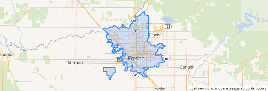
Fresno
See in interactive map
Routes of public transport
Amtrak San Joaquins: Bakersfield => Oakland
Amtrak San Joaquins: Bakersfield => Sacramento
Amtrak San Joaquins: Oakland => Bakersfield
Amtrak San Joaquins: Sacramento => Bakersfield
Flixbus 2006: Los Angeles=> Sacramento
Flixbus 2006: Sacramento => Los Angeles
Flixbus N2006: Los Angeles => Reno
Flixbus N2006: Reno => Los Angeles
Flixbus N2008: Las Vegas => San Francisco
Flixbus N2008: San Francisco => Las Vegas
Stops
FlixBus North Fresno
Fresno
FlixBus Downtown Fresno
FlixBus Downtown Fresno
Fresno
FlixBus North Fresno
Points of interest
Ryan Preparatory Seminary
Church of God
Carl's Jr.
King Buffet
Fresno Fire Department Station #5
IHOP
Chipotle
Lola's
Abundant Life Christian Assembly Church
Arco
Saint Columbas Episcopal Church
Applebee's Neighborhood Grill & Bar
Fresno Greyhound Bus Terminal
Spiritual Awareness Center of Fresno
Señor Ají Peruvian Bistro
Chevron
Mabel's Kitchen
Evangelical Gospel Tabernacle
Memorial Auditorium
Emmanuel Lutheran Church
Little Caesars
Jack in the Box
Manchester Steakhouse
Highway City Ministries
Taco shop
First Armenian Presbyterian Church
Chevron
Fresno County Free Library
Sunnyside Assembly of God Church
State Center Community College District Office