Login
Star users
Poll
Home
>
United States
>
California
>
Fresno County
>
Fresno
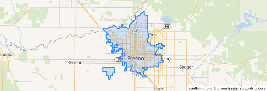
Fresno
See in interactive map
Routes of public transport
Amtrak San Joaquins: Bakersfield => Oakland
Amtrak San Joaquins: Bakersfield => Sacramento
Amtrak San Joaquins: Oakland => Bakersfield
Amtrak San Joaquins: Sacramento => Bakersfield
Flixbus 2006: Los Angeles=> Sacramento
Flixbus 2006: Sacramento => Los Angeles
Flixbus N2006: Los Angeles => Reno
Flixbus N2006: Reno => Los Angeles
Flixbus N2008: Las Vegas => San Francisco
Flixbus N2008: San Francisco => Las Vegas
Stops
FlixBus North Fresno
FlixBus Downtown Fresno
Fresno
FlixBus North Fresno
FlixBus Downtown Fresno
Fresno
Points of interest
Addams Elementary School
Iglesia La Luz Del Mundo
Saint Johns School
Good Shepherd Lutheran Church
Fresno Central Library and California History & Genealogy Room
Starbucks
North Gate Assembly of God Church
Subway
Chevron
Oliver's pub & restaurant
Gospel Hall
Fresno
Jefferson Elementary School
King Buffet
Starbucks
Popeyes
Fresno Spanish Seventh Day Adventist Church
Memorial Auditorium
Carl's Jr.
Fu Hai Restaurant
Valparaiso Cafe & Roastery
Chipotle
State Center Community College District Office
Church of God
New Harvest Christian Fellowship Church
Starbucks
Victory Life Center
Fresno Temple Church of God in Christ
Fresno Fire Department Station #5
Saint Pauls United Methodist Church