Log masuk
Pengguna bintang
Undian
Laman utama
>
Amerika Syarikat
>
Colorado
>
Adams County
>
Commerce City
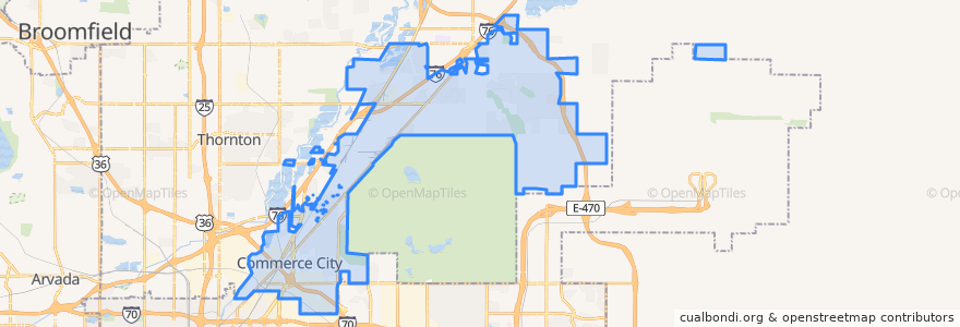
Commerce City
Lihat di peta interaktif
Laluan pengangkutan awam
Bus 104X: Commerce City/Denver Express → Union Station
Bus 104X: Commerce City/Denver Express → Walden - E 104th
RTD N Line → Eastlake & 124th
RTD N Line → Union Station
RTD Route 145X: Brighton / Denver Airport
RTD Route AB2: Boulder Junction / Denver Airport
Perhentian
104th Avenue & Revere Street
104th Avenue & US 85
104th Avenue & Revere Street
104th Avenue & Reunion Parkway
Walden Street & 104th Avenue
104th Avenue & Blackhawk Street
Commerce City & 72nd
104th Avenue & Landmark Drive
Commerce City & 72nd
104th Avenue & Landmark Drive
104th Avenue & Reunion Parkway
104th Avenue & US 85
104th Avenue & Blackhawk Street
Tempat menarik
Reunion Dental Care
Commerce City
Commerce City
China Red
Commerce City
Commerce City
Commerce City
Northern Range Substation Commerce City Police
Commerce City
Commerce City
Yum Asian and Sushi
Commerce City
King Soopers Pharmacy
Commerce City
Rocky Mountain Urgent Care
Commerce City
Commerce City
Commerce City
Commerce City
Commerce City
Jimmy John's
Commerce City
Commerce City
Commerce City
Walgreens
Commerce City
Domino's
Starbucks
Commerce City
Subway